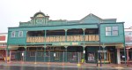
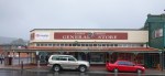
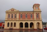
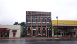
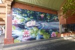
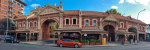
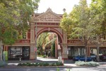
Australia, Kalgoorlie, 28 – 30 March 2021
This is the start of a lap around Australia. I hope to visit places that I missed on my last three rides. As I am in a 4×4 this time I can carry enough food, water and fuel to enable me to travel roads and visit places I could not on my bike.

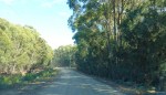
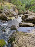
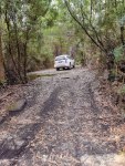
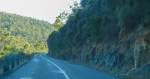
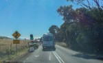
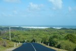
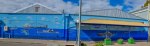
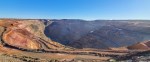
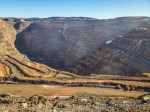
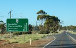
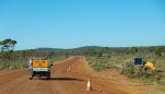
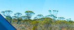
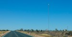
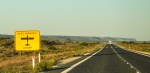
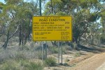
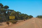
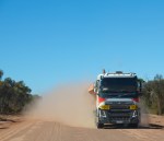
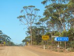
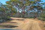
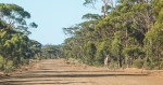
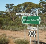
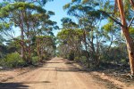
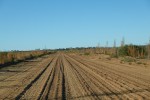
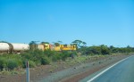
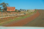
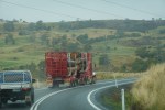
First stop Kalgoorlie, I decided to take the scenic route from Perth via Hyden and the Hyden-Norseman Road turning left on Victoria Rock Road which would then take me on to the Great Eastern Highway and Kalgoorlie. Most of the Hyden-Norseman road is gravel in good condition because mining road trains use it and they presumably pay for its maintenance. The Victoria Rock Road is narrower and not in as good condition and I did not see a single other vehicle over its entire 141 km length. You still have to check with the relevant Shires and there are three of them to make sure the roads are open because when it rains they get flooded. This route can also be driven in a normal car.
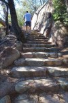
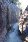
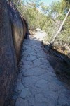
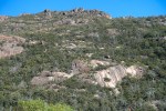
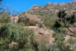
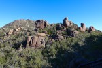
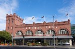
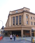
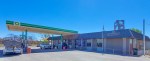
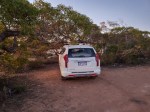
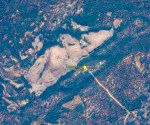
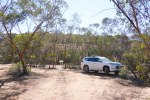
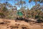
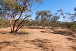
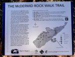
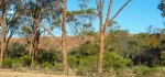
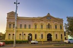
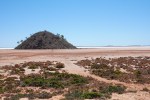
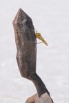
I stopped and filled up at Kondinin and all went well until I reached McDermid Rock campground where I planned to do some exploring on foot, stay the night and carry on the next day. When I arrived there the temperature gauge in my car read 41c and I was surrounded by a million flies. I had something to eat, took some photos and after 30 minutes of torture hahaha decided to head directly to Kalgoorlie as it was only 15:15. I stayed in Kalgoorlie for three nights with temperatures hovering around 40c. I had also planned to stay a couple of nights camping in Menzies so I could visit Lake Ballard and Ora Banda but decided to drive there and back instead.

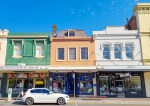
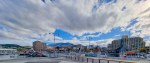
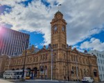
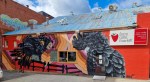
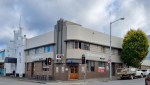
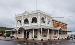
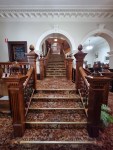
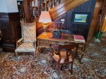
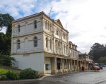
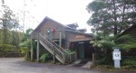
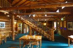
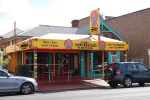
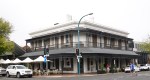
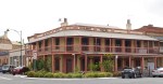
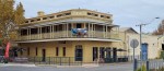
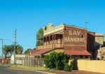
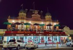
Having visited Kalgoorlie in the past I did not feel the need to wander around in the heat. This time I stayed at Forrest House, listed on Airbnb, it is cheaper and much nicer than any of the Hotels and Motels and it has secure parking inside a gated compound.

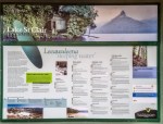
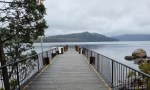
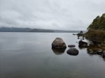
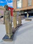
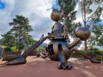
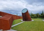
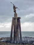
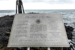
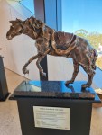
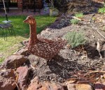
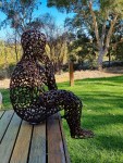
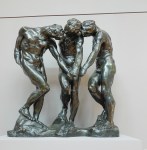
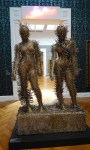
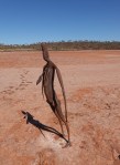
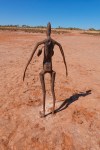
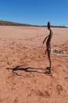
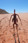
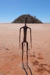
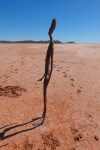
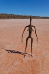
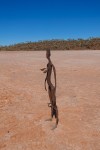
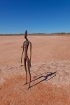
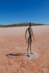
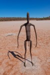
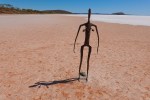
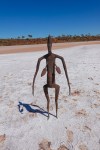
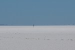
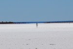
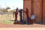
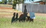
Lake Ballard – LAKE BALLARD and ANTONY GORMLEY’S “INSIDE AUSTRALIA”

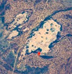
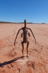
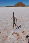
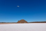
“Invited by Sean Doran, then the Artistic Director of the Perth International Arts Festival, to make a work to celebrate the festival’s 50th anniversary in 2003, Gormley accepted the challenge, and later noted: “I just wanted somewhere with an absolutely flat, more or less 360 degree horizon.  [I chose] the west of Lake Ballard, which is an extraordinary lake 70 miles long and 30 miles wide, with this sodium crust that makes everything stand out absolutely clearly.

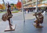
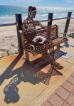
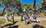
In December 2002, after months of preparation, Gormley supervised the installation of 51 metal figures at Lake Ballard. It had been an extraordinary journey, superbly documented in the award-winning film Inside Australia (Thunderbox/Artemis International, 2004) and the book Antony Gormley Inside Australia (Thames & Hudson, 2005).”

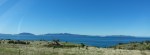
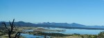
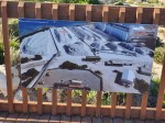
This was the main reason for and definitely the highlight of this stop, it’s about a 2 hour drive from Kalgoorlie with the last 20 km being a good gravel road, a normal car can do this drive very comfortably.

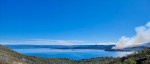
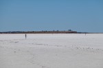
The statues are spread around quite a large area, I walked about 3 km and only saw about fifteen of them and then I had some fun flying my drone. Once again the heat and flies were annoying but not so much on the lake bed itself as there was a stiff breeze blowing which helped keep me cool and also kept the flies away. When I got back to my car the temp gauge read 47c but it did not feel that hot, it felt about a comfortable 40c hahaha.

.

.

.

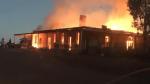
I then went looking for the Ora Banda Hotel unsuccessfully as there is nothing left to see.

“The town hit the headlines in 2000 when Gypsy Joker, Billy Grierson, was fatally shot while sitting at a camp fire on the old town site. Former Criminal Investigation Bureau chief and Ora Banda hotel owner Don Hancock was suspected of the shooting and his properties were later fire-bombed. Hancock was later killed in a car bombing in 2001 in Perth in a revenge attack by a member of the Gypsy Jokers.

In the early hours of the morning of 18 May 2019, the hotel was destroyed by fire.”

.

Posted in Australia | Tagged , , , , , , , , , , , | 3 Comments

Australia, The Silo Trail, Northam, Merredin, Katanning, Pingrup, Newdegate, Ravensthorpe and Albany, 17 – 20 March 2021

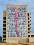
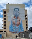
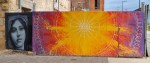
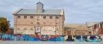
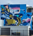
My new car arrived on 16 March, I had to drive 1,500 km and get the first service done so I decided to follow the Silo Trail. This is in the Wheatbelt area of Western Australia. CBH the grain company provided the funds to bring artists from all over the world to paint these huge grain silos.

“Wheat is the major grain crop produced in Western Australia making up 65% of annual grain production and generating A$2-3 billion for the State each year. Wheat production occurs across the WA wheatbelt on 4200 mostly family-run farms ranging in size from 1000-15 000 hectares. WA generates about 50% of Australia’s total wheat production with more than 95% of this exported predominantly to Asia and the Middle East. WA produces white grained wheat varieties that generate high flour milling yield and a bright white flour that is suitable for a range of products.”

Before I got going I fitted Falken All Terrain tyres, the standard tyres get punctured very easily on gravel roads, everything else was standard.

Total trip distance 1,641 km and 4 days.

Silo Trail

First stop was Northam, it has the biggest Silos. I thought I could drive down a gravel road I saw on the map to the top of a hill for photos but it turned out to be the road to the tip. And I got told off on the way back out because I should have stopped and checked in hahaha.

From Northam I drove to Merredin and then on to Katanning with a 15 minute stop at Totadgin Park.

Northam-1

Northam Silos

Northam-2

Northam Silos

Northam-3

Northam Silos

Northam-4

Northam Silos

Northam-5

Northam Silos

Northam-6

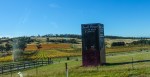
Unpainted Silos, on the road

Northam-7

Merredin Silos

Northam-8

Merredin Silos

Northam-8a

Merredin Silos

Northam-9

Solar Panels

Northam-10

Totadgin Park

Northam-11

Totadgin Park

Northam-12

No, I did not go on the walk, too hot

Northam-13

Clean

Northam-14

Wheat fields

Northam-15

Long and Straight roads

Northam-16

Bruce Rock

Northam-17

Old Wagon

Northam-18

School Bus Stop

Northam-19

Single Lane road

Northam-20

Wheat Silo

Northam-21

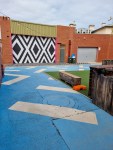
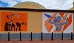
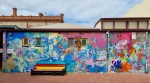
I checked into the Caravan Park in Katanning for 2 nights. This is a shakedown run to prove all my gear works and make a list of things to do. Katanning does not have any Silos but it does have Street Art.

Camp

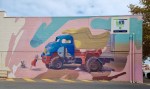
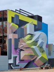
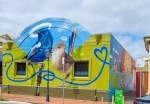
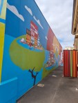
Katanning-2Katanning-3Katanning-4Katanning-5Katanning-6Katanning-7Katanning-8Katanning-9Katanning-10Katanning-11Katanning-12Katanning-13Katanning-14Katanning-15Katanning-16Katanning-17Katanning-19Katanning-20Katanning-21Katanning-22Katanning-23Katanning-24Katanning-24aKatanning-25Katanning-26Katanning-28Katanning-29Katanning-30Katanning-31

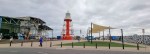
From Katanning I drove to Pingrup, a very small town with small silos. Next stop was Newdegate where there was a train unloading grain, next Ravensthorpe where both sides of the silos were painted. After that a long drive to Albany along Highway 1 that became a little exciting towards the end. I knew I could make the distance from Katanning to Albany on a tankful of fuel but 80km out of Albany the road was closed and there was a long detour. Luckily I found a General Store/Cafe that also served Diesel and filled up with 3.64 litres left in the tank hahaha, lesson learned, fill up when you can in the bush.

Albany is a port and quite a big town with a population of 34,000. I spent the night there and drove back to Perth the following day.

Albany-1

Heading out

Albany-2

Pingrup Silos

Albany-3

Pingrup Silos

Albany-4

Newdegate Silos

Albany-5

Newdegate Silos

Albany-6

The train is moving and unloading grain

Albany-7

Newdegate

Albany-8

Newdegate

Albany-9

Lake King

Albany-10

Ravensthorpe Silos

Albany-11

The Artist

Albany-12

Ravensthorpe Silos

Albany-13

The Other Side

Albany-14

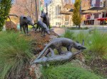
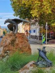
Albany, Ruby Seadragon

Albany-15

Albany, Ruby Seadragon

Albany-16

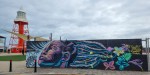
Albany

Albany-17

Albany

Albany-18

Albany

Albany-19

Albany

Albany-20

The Old Town

Albany-21

The White Hotel

Albany-22

The View

Albany-23

.

.

Posted in Australia | 1 Comment

Australia, Marble Bar, 18 – 19 August 2020

I left the Roebuck Plains Roadhouse at 0700 hrs and drove almost immediately into heavy fog which persisted for about 30 min. I travelled South back towards Port Hedland until I reached the Boreline Road. This is a gravel road short cut to Marble Bar, with great views, no traffic and in good condition due to the mines in the area. The road is shown on Google Maps but there are no signs for the turnoff, just turn left and keep going until you reach Marble Bar hahaha.

Always remember to carry your EPIRB plus food and water for a week just in case you get lost, breakdown, bogged, break a leg, run out of fuel, etc.

This is a useful website for maps of Australia Bonzle.com


Marble Bar is famous for being the hottest town in Australia. It was not very hot this time around, the last time I was here in 2007 when I came through with the Australian Safari Rally it was 40c. It was named after a type of  colourful quartz called Jasper across the Coongan River which was initially thought to be marble. They also found some big Gold nuggets in this area.

.

Posted in Australia | 1 Comment

Australia, Wolfe Creek Meteorite Crater, 16 – 17 August 2020

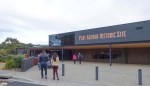
Wolf Creek Meteorite Crater – After I finished with the Northern part of the Bungle Bungle range I headed back to the main highway and drove west until I arrived at the Tanami Road. This is a gravel road that goes all the way to Alice Springs. I turned onto it and after 112 km of fairly smooth dirt came to the Wolf Creek Meteorite Crater turnoff. The Crater is located 20 km further, on a Cattle Station, 3 gates to open and close and I was there. Short walk up to the Crater rim, hard to imagine the impact and explosion that caused this 875m (diameter) and 60m deep dent in the planet. I wandered around for a while and as it was still early decided not to stay in the National Park Campground but carry on and stop at a Rest area on the main road.

It was made famous by the film Wolf Creek

Mary Pool Rest Area – on the Mary River, Mueller Ranges, good place for a free overnight stop.

Roebuck Plains Roadhouse – Another good place for a good meal and a paid overnight stop.

.

Posted in Australia | 2 Comments

Australia, Bungle Bungle Range, 15 – 16 August 2020

Kununurra to the Bungle Bungle Range, 2.5 hours to the turn off and then an hour and 10 minutes to cover 53 km of a fairly rough, winding dirt road to the Range itself. This is the most interesting place I have seen on this trip. I saw it from the air in 2006. I visited the Southern part, camped in the National Park Campground overnight and visited the Northern part the following morning.


Posted in Australia | 2 Comments

Australia, Kununurra, 01 – 14 August 2020

Wyndham to Kununurra, a short drive, I stopped at a few interesting places along the way.

The Afghan Cameleers – were brought from British India and worked in the bush transporting goods before the arrival of the motor vehicle.

Moochalabra Dam – Wyndham Water Supply

The Boab with a Window to its Insides

The Grotto

Kununurra – a long way from anywhere. The largest town in this area with a permanent population of 5000 but this goes up in the dry season. The weather is tropical with day/night temperatures of 30/15 and no rain at all, very pleasant. I waited here for two weeks hoping the Western Australian border would open but there are no signs of that happening anytime soon with grandstanding politicians and salivating media frightening the mob. Therefore I have had to forego visiting the Northern Territory and start on my journey back to Perth.

.

Kangaroo Haven we need more people like them.

.

.

.

Lake Argyle created by a Dam across the Ord River. The Durack Homestead was dismantled and moved to higher ground and is now a small museum.

.

.

Mirima National Park and the Saturday Market

.


Posted in Australia | 6 Comments

Australia, Wyndham, 29 – 31 July 2020

Wyndham – a very small town, population 780 in need of some maintenance. It is surrounded by mudflats and five rivers Durack, Pentecost, King, Forrest and Ord which meet the sea at the Gulf of Cambridge.

.

.

Posted in Australia | 1 Comment

Australia, Day 3, Gibb River Road, 29 July 2020

Today I was meant to go North off the Gibb River Road onto the Kalumburu road to explore the Mitchell Plateau and the coast beyond Kalumburu but the Road was closed. All the additional emergency supplies and fuel I was carrying was mainly meant for this part of the trip. Covid flu paranoia reigns supreme, even when there is not a single case of the virus anywhere within 5,000 kms of this area.

The Politicians and the Medical Industry continue to pretend they are saving us ALL from certain death and the gullible, terrified people remain petrified with fear and submissive to their saviours.

The Green Line is the Gibb River Road, 1,055 kms from Derby to Wyndham.                    Day 1 – 373 km, Day 2 – 293 km, Day 3 – 389 km.

Mount Elizabeth to Wyndham the last leg of the GRR, after the first 30km of deep corrugations getting back onto the main road it was a good dirt road. There were a few river crossings with hardly any water in them and some magnificent views of the Cockburn Range.

Aghan Cameleers – interesting history

.

Posted in Australia | 1 Comment

Australia, Mt.Elizabeth Station, Gibb River Road, 28 July 2020

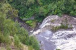
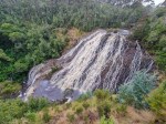
Day two on the GRR, I drove from Mount Hart (222m altitude) down to the main road and first stop was Bell Gorge, about a kilometre walk and there was a pleasant surprise a waterfall with flowing water and I also saw some water Lilies. Next stop Imintji Community Store for a Magnum ($7) and finally I topped up with the most expensive diesel of this trip ($2.05/litre) at Mt.Barnett Road House. I was carrying 2 x 20 litre containers of diesel which I added to the tank at Mount Hart. The road to Mount Elizabeth Station (579m) was atrocious, as bad as the Steep Point Road.

.

.

.

Posted in Australia | Leave a comment

Australia, Mt.Hart Station, Gibb River Road, 27 July 2020

Gibb River Road – was used as a route to transport cattle from the farms in the Kimberley to the South of the State. Now it is a tourist route and kept in good condition though the tracks leading to the Stations which offer accommodation can be quite bad with a few creek crossings. The road to Kalumburu and the Mitchell Plateau was closed and many other stops as well.

The first 130km from Derby is a good paved road upto the Windjana Gorge / Tunnel Creek turnoff, after that it is a dirt road with paved sections at certain points when going up or down a hill. The main criteria for travelling on this or any other dirt road is good quality,  All Terrain tyres with a thick layer of tread and strong sidewalls as the gravel used to surface parts of these roads has many sharp stones which can puncture your tyres. After my puncture in Tom Price I fitted 4 new Cooper AT3 tyres, not the cheapest but if they saved me even one puncture they paid for the difference between cheap and good quality tyres. While it was easy to buy tyres at Tom Price, a puncture on this road could turn out to be very expensive due to the fact that it is 660 km long and help is far away. I was also carrying two spare tyres as further insurance.

.

.

.

.

Posted in Australia | 2 Comments