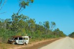
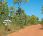
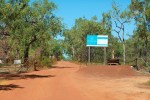
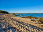
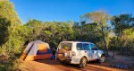
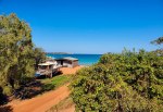
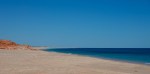
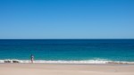
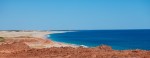
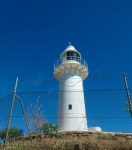
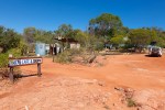
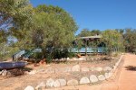
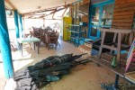
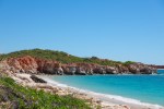
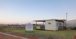
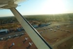
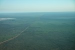
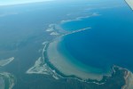
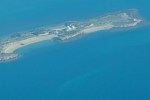
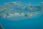
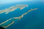
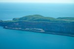
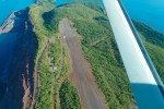
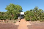
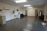
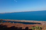
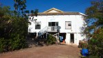
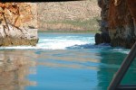
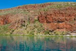
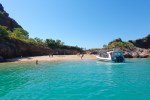
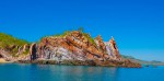
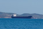
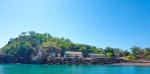
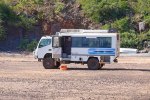
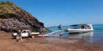
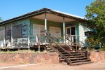
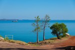
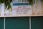
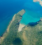
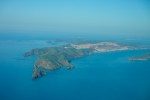
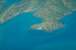
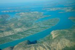
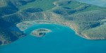
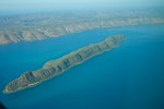
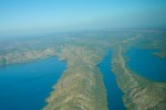
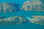
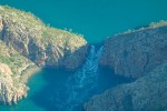
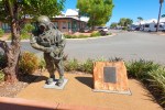
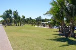
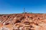
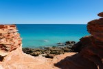
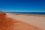
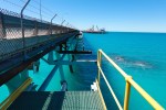
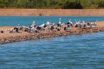
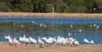
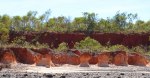
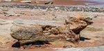
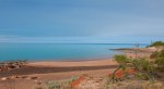
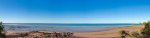
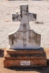
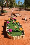
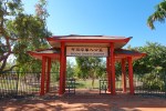
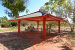
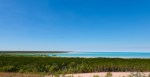
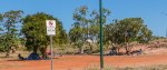
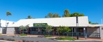
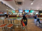
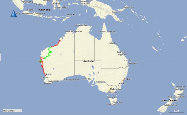
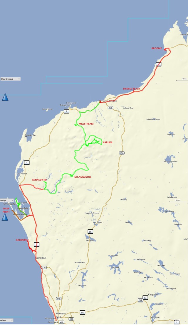
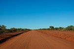
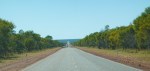
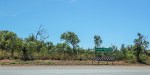
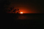
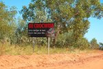
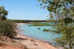
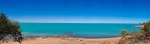
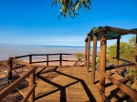
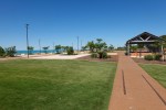
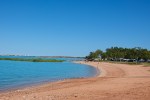
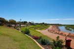
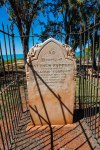
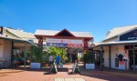
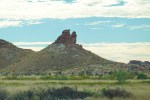
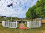
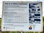
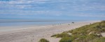
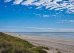
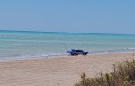
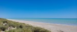
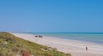
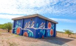
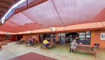
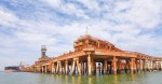
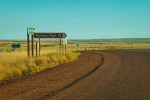
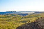
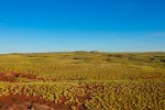
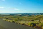
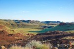
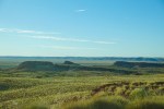
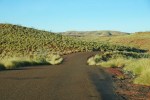
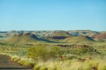
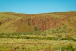
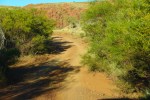
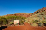
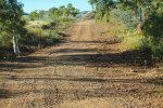
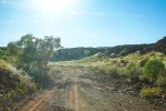
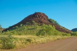
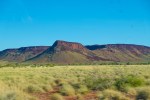
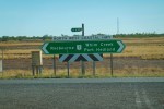
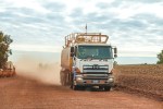
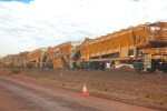
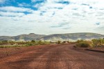
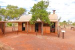
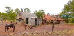
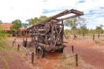
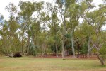
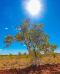
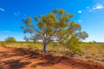
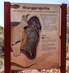
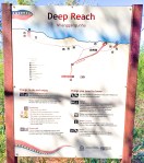
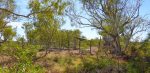
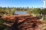
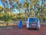
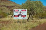
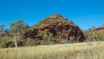
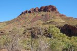
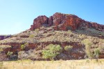
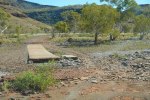
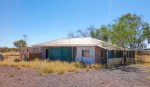
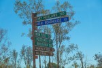
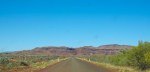
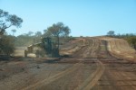
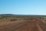
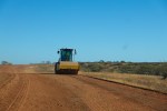
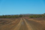
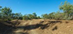
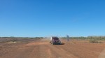
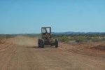
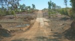
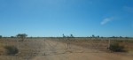
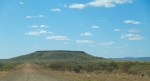
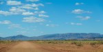
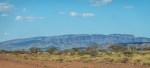
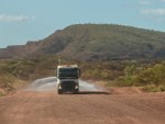
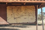
Eighty Mile Beach Marine Park – I thought I would spend a few days in this remote location relaxing, wrong! It turned out to be a Caravan Park with 150 sites and it was quite full, being a weekend and the start of the school holidays might have something to do with that hahaha. The beach is actually 140 miles or 220 km long. You can drive and camp on it though it is not recommended due to nesting turtles etc but the advice is largely ignored and fishing is the reason, there is nothing else here.
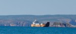
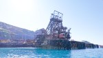
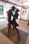
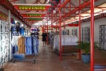
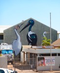
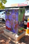
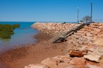
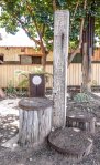
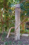
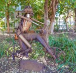
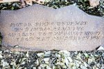
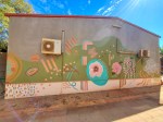
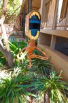
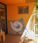
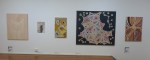
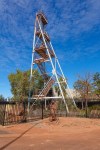
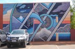
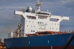
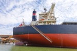
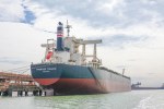
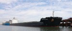
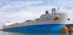
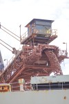
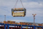
Port Hedland – the highest tonnage port in Australia, mainly iron ore. It used to be the main town but due to red dust pollution South Hedland was built 18 km inland and the majority of people live there now. They also have street art and an art gallery.
Wedge Street
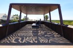
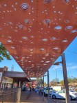
Shade Art
The Creator
Park
Street Art
.
.
.
From the Old Pier
.
.
.
.
Motorcycle Revenge
.
.
.
Art Gallery
.
.
.
.
.
.
.
.
.
.
.
.
Pier Hotel
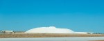
Iron ore Red inside
Shady spot
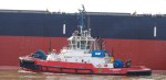
I went on a Harbour Tour organised by the Port Hedland Seafarers Centre. An interesting organisation which I never knew existed. The scale of the iron ore tonnages can be seen in the daily movement of these huge ships in and out of the harbour. Iron ore exports last year totalled 515 million tonnes at US$100/tonne that is 51.5 billion dollars every year.
I slept in the front seat of my vehicle, couldn’t be bothered putting up the tent for one night only, therefore I was able to wake up and depart at 0655, the same as I did at Steep Point. The only disadvantage with leaving so early is I had the sun in my eyes for a while but there is also absolutely no one else on the road.
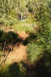
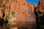
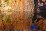
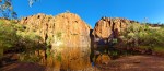
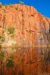
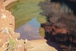
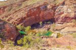
First stop Python Pool, a short rough track leads to it through the bush and suddenly this absolutely stunning vision appears. Being early morning the sun was shining directly on the rock surrounding the pool.
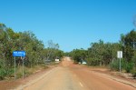
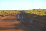
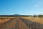
After that a rough road until I reached the City of Karratha border and then it was a very smooth dirt road until I reached Highway 1 and from there Cruise Control all the way to Hedland.
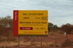
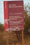
In order to get to the Millstream National Park you have to travel down private roads owned by the Rio Tinto Mining Company. And before they allow you to travel on these Rail Access Roads you must first watch a series of training videos and complete a test of multiple choice questions at the end. If you get the answers wrong you can keep repeating the test until you get them right. Once you have answered the questions correctly you are issued with a free permit to travel on their roads, valid for 30 days.
The road itself being mission critical is kept in good condition though this can change quite suddenly in the Wet (Cyclone) season. This is winter the dry season.
Rail Access Road
.
.
.
.
A few corrugations
Mines
Trucks
Construction
Rail Maintenance
The Road
Graders
The View
Trains
Rail Sidings
Grader
Another Grader
Finally the turnoff
to Millstream
.
.
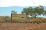
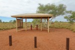
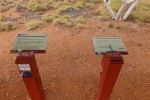
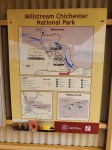
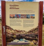
Millstream is an oasis in the desert fuelled by a vast underground aquifer that also supplies fresh water to Karratha, Hedland, the mining industry, etc.
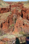
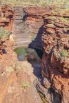
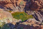
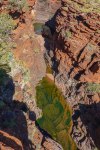
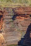
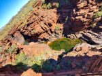
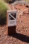
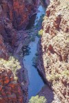
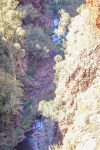
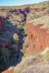
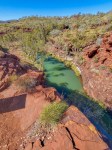
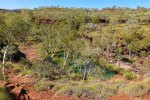
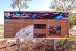
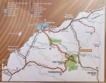
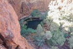
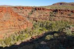
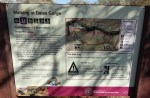
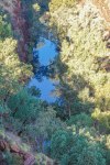
Tom Price is a mining town and is surrounded by iron ore mines. I used it as a base to visit Karijini National Park. All the National Parks have a $15 entry fee per vehicle, $10 for Seniors, I have an Annual Pass. There are a few narrow gorges with pools of water, I only went to the Lookouts not down into the Gorges, very picturesque.
On the way
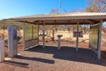
Buy your ticket here
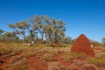
Red Ant Hill
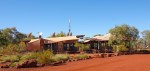
Karijini Eco retreat Closed
Gorges
.
.
.
.
.
.
.
.
.
.
No Drones
.
.
.
.
Dales Gorge
Dales Gorge
Karijini
Map
Visitors Centre
Visitors Centre
Visitors Centre
Visitors Centre
Stockman
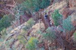
Hanging on
Circular Pool
Three gorges
Instructions
The Route
Danger
Gorge
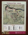
Fortescue Falls
Fortescue Falls
Fortescue Falls
Mountain
Wide load
Uncle Tom’s Cabin
Noisy
I also visited the Hamersley Gorge and the Wittenoom Gorge which was where they mined asbestos and has been abandoned.
Red
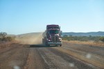
Road Trains and Road Works
Hamersley Gorge
Rest Stop
Hamersley Gorge
Hamersley Gorge
Colours
Narrow
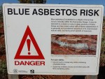
Asbestos
The Road
Abandoned
Cows
.
.
.
.
.
.
Like Chernobyl
Somebody lives here
Cafe
.
.
Auski Village
Munjina Gorge
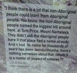
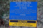
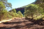
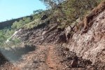
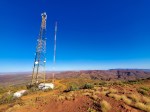
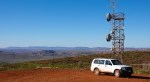
I went for a drive up Mount Nameless, a very rough track, walking pace, definitely only 4wd.
Mount Nameless
Mount Nameless
Workers
4wd only
The track
Narrow and rough
Mines
Towers
At the Top
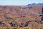
Panorama
A Lake
Mines
Mines
Spiky
.
.
I was planning to leave today but noticed a slow leak in my right rear tyre, it had only 11psi so I decided to fit a full set of good quality new tyres designed for the roads I am going to travel on. The tyres that came with the vehicle were mismatched, 2 were old and 2 were new but rubbish, one of them got punctured, probably by a sharp stone. This is a common occurrence on these roads, which is why I am carrying 2 spare tyres.
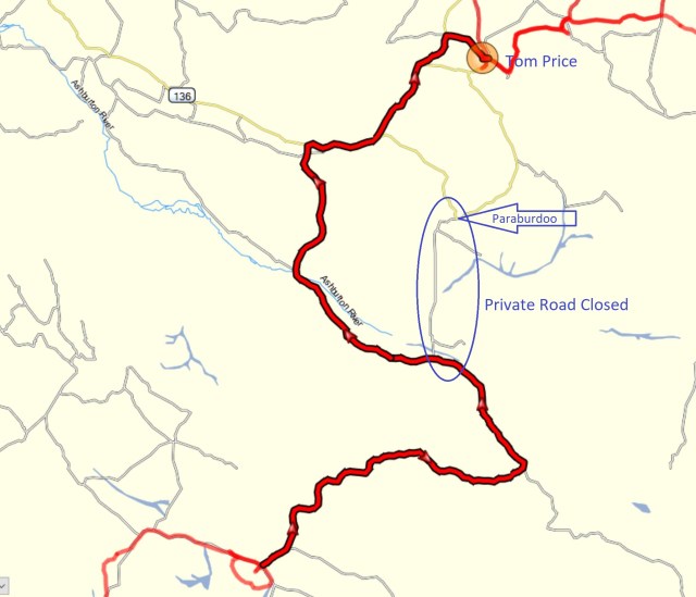
This was a drive into the unknown, I asked around and checked Main Roads and Google Maps but could not get consistent information on the route. Anyway I set off and very quickly saw that the Gmaps route 297 km was sending me down roads that were private property with locked gates so followed the signs which were few and far between. The first 150 km was a winding road and 60kph top speed if that, good dirt with occasional bad patches and a Grader crew working on it all year round. I eventually came to the Ashburton Shire boundary and a sign that said “Road Closed”, I definitely was not going back and making a 1000km detour so I continued on with a little trepidation thinking it may be a river crossing washed away and I could somehow find my way across. I am carrying 44 litres of drinking water and enough food for a couple of weeks so no worries. The road turned out to be very good, the best so far with again a Grader and crew working on a section. I came to a gate while passing through the Ashburton Downs Station but there were no signs on it and it was not locked so the normal procedure in this case is to go through and close the gate behind you which I did. And continued on uneventfully until I reached Nanutarra road which had a short section of paved road. On the way I overtook one vehicle towing a camper and three other passed me going in the other direction. Arrived in Tom Price completely bypassing Paraburdoo after 442km in 5:20 hrs. The lady at the Visitor’s Centre said the road is officially closed due to road works but she had only heard about it the day before, puzzling because there are no other roads through that area and work on them is continuous, probably typical Shire bureaucracy.
The drive from Gascoyne Junction to Mt.Augustus was the most interesting so far, winding dirt roads, a few corrugations, many Dips, Floodways and a few dry river crossings added to the fun. Mainly a good graded surface sometimes not so good, easy to maintain 100 kph. It took 3 hours to cover the 288 km. I met another couple who took 6 hours and were doing 50 kph, at that speed you feel every bump and corrugation, at 100 kph you skim over the top of the corrugations, a much smoother ride.
Mount Augustus 315 km
Unfenced roads
Red dirt
Small river
Truck
Maintenance
Big River
Cobra Dairy Creek Road
Lookout
Stony
Another Big River
Missing Rear Window
Oval rock
Pyramid rock
Lookout
Big River
Not Mount Augustus
Windmill and a Phone
Mount Augustus first glimpse
Caravan Park
Very nice
Fine Red dust
Sticks to everything
Scorpio
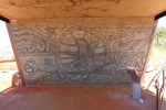
Mount Augustus – A very large rock. I followed some of the trails and saw some Aboriginal scribbles, not one of the talented.
The Rock
Ooramboo
Trees
Pink
Art
Art
The Canvas
Waterfall
Art
Path
Art
Mundee
Art
Rock
Walks
Flintstone Rock
Flintstone Rock
Flintstone Rock
Art underneath
A round hole
The Pound, Saddle Walk
The Path
The Lookout
The View
Goolinee, Cattle Pool
Spot the Drone
The Pool
Emu Hill Lookout
The View
8 AM
I flew my drone at the Cattle Pool, it was deserted, click on the link below.
Carnarvon to Gascoyne Junction 175 km on a good paved road but after this it will be all dirt roads, we are in the outback now.
The Road
Mother and Child
Nonchalant
Yes
The Races
Carnarvon to Gascoyne Junction
Gascoyne Junction – population 149, a one roadhouse town and they have a brand new caravan park. Most people stop here to visit the Kennedy National Park.
Caravan Park
Campsite
Gascoyne River
Gascoyne River
Hackers Hectare
Gascoyne River
Gascoyne River Flood
Open / Closed
Ullawarra Road
Corrugations
Lyons River
Crossing
Dry
Kennedy NP
Kennedy Range
Kennedy Range
Kennedy NP
Floodway
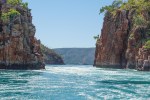
Temple Gorge
Rocks
Colours
The Pathway
Worn
.
Streambed
Streambed
The Temple
.
.
.
.
Spot the Drone
.
.
Honeycomb Gorge
Honeycomb Gorge
Honeycomb Gorge
Honeycomb Gorge
Art
Honeycomb Gorge
Honeycomb Gorge
Honeycomb Gorge
Honeycomb Gorge
Honeycomb Gorge
Kennedy Range
Kennedy Range
Cattle
Gascoyne Junction
Shire Office
Agricultural
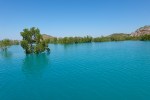
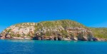
The Park was deserted and I flew my drone at Temple and Honeycomb Gorges for about 10 minutes each which is how long a battery lasts and I have two batteries. Edited videos shown below. The originals are in HD but these have reduced resolution to have any chance of being uploaded from here .
Steep Point to Carnarvon, after the first 30 km of the sand track an easy drive in fine weather.
Carnarvon – population 4,400, the biggest town in this area, famous for its Bananas and Mangoes. It has a Woolworths, Repco, AutoPro, three tyre places and four Caravan Parks for the tourists. It also had a Tracking Station built by NASA for the Gemini, Apollo and other Space Programs, this site is now an interesting museum.
I noticed my car drifting to the left and a shake in the steering wheel so I took it in for a wheel alignment and balance which fixed the problem.
Carnarvon
Camping
Bird
WW1
WW1
Art
Kingsford Smith
Main Street
Art
Waterfront
WW1
Sailors Prayer
Space Museum
On the Moon
Moon Men
Equipmet
NASA
Antenna
Construction
Arianne 5
Planetarium
Planetarium
Man on the Moon
Moon
Tracking Station
Patches
Rockets
News
News
Coopers
Movie
Museum
Big Antenna
Another one
From behind
Boat
Fish Cleaning
1 Mile Jetty
Closed
Look at the Trees
Bananas
Caravan Park Concert
Raffle prize
The caravan park I stayed in had a large number of people stranded there when the government closed regional borders, one a Sax player put on a free concert once a week while she was there, very nice. And there were also a group of young French and Italians on one year working holidays stuck as well. They all started leaving this week.
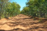
Steep Point, the western most point on the Australian mainland. The first 130 km from the main road is a good graded dirt road and you can maintain 110 kph most of the time but the last 30 km of this track goes through sand dunes, along the beach and some hard limestone corrugations, not for the fainthearted though the locals come here to fish hahaha. Once again you need a vehicle with good ground clearance and you must lower your tyre pressures to 20 psi or lower. You also need to carry your own compressor to reinflate your tyres on the way out.
Loaded
Steep Point
Good Road
Stop to deflate your tyres
Welcome
Tyre advice
That a way
Don’t get bogged
Narrow and sandy
Dunes
Moving dunes
Dunes
Beach
Track
Private property, must commute by boat
Register with the Ranger
Shelter Bay
Directions
8 km to go
Shelter Bay Camping
All booked out
Steep drop
Steep Point
Arrived
Fotopol
Rugged
Window
Rugged
Rugged
Campsites
Waves
Island
Surf
Fish Cleaning
Fishermen
Life Buoys
Fishing Rod stands
Rocky ground, can’t get tent pegs in
The easy way, by boat
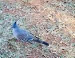
Spot the Blue bird
Bush Dunny
Inside
Early morning departure
Soft sand
Dunes
Dunes
Dunes
Bumpy
Nearly there
Reinflate your tyres
There was one hill that I bounced down with huge potholes and getting back up it would have been a real problem so I asked the Ranger about this hill when I registered and she said going back the road went around that hill, it was one way only hahaha relief.
Closeup
.
.
.
.
.
.
.
.
.
.
The night was completely black, no moon, no clouds or any artificial light and the stars were out in force with the Milky Way and Scorpio clearly visible. Look at the photos in complete darkness on a big screen to get some idea of what I experienced, absolutely amazing. I put the camera on the roof of my car and used the self timer and a 6 second exposure.