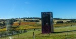
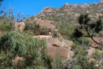
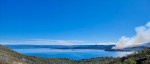
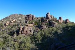
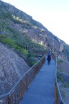
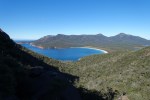
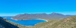
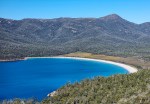
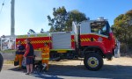
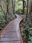
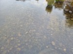
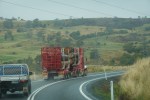
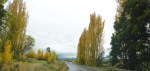
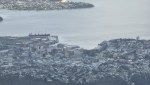
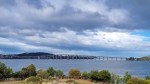
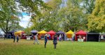
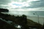
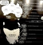
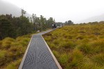
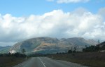
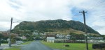
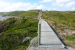
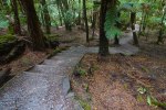
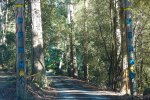
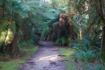
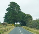
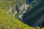
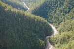
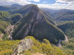
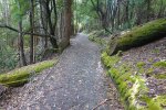
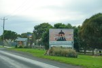
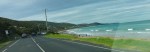
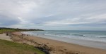
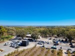
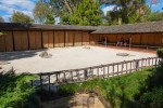
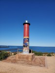
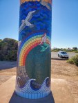
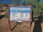
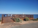
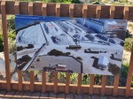
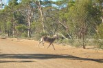
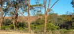
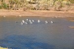
Hobart to Bicheno on the East coast of Tasmania. The scenery is much calmer with less rain on this side of the island. Blue skies and 17c for two days in a row, perfect weather for the steep 3 km hike up to the Wineglass Bay Lookout which was my main reason for this stop. I was last here 20 years ago on my bike in 2001 when it was just a dirt track up to the Lookout and I was alone. Now there is a one way path with steps and a boardwalk when required making it a comfortable (knee breaking) walk with about 300 other people hahaha. There is even a Visitors Centre and a Car Park which was full and you need a Pass, since I have an annual pass I bypassed the Visitors Centre. A very beautiful place.
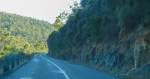
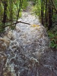
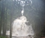
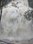
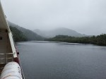
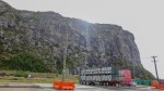
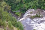
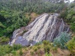
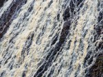
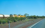
Queenstown to Hobart is another torturous winding road 268 kms and it took 4:44 hrs in a drizzle. Queenstown by the way is the wettest town in Tasmania and the West has more rain and rugged mountainous terrain than the East. First stop was Nelson Falls, I nearly did not stop because it was raining but a good thing I did because it must be the most spectacular, raging waterfall on this island, not very big but scary with the thunderous sound and the force of the water cascade. It’s a short walk from the car park which is just off the road on a pathway and the lookout is just under the falls so I got blasted with the spray coming off the falls, only time for a short video and out of there hahaha back to the car to dry off. Watch the video, a still photo does not do it justice.
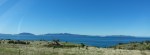
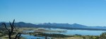
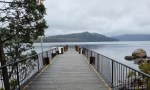
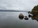
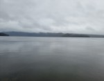
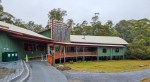
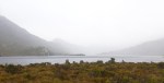
My next stop was Lake St.Clair, it was drizzling so a quick walk around the Visitors Centre and down to the Jetty and then on to Hobart.
Heading out of Queenstown
Nelson Falls, Short Walk
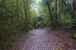
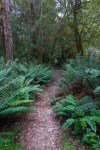
The Path
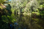
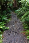
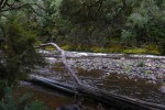
Nelson River
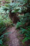
The Boardwalk
Nelson Falls
Nelson Falls
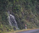
Little Waterfall
Lake St.Clair Visitors Centre
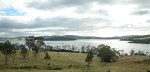
Lake St.Clair
Lake St.Clair
Lake St.Clair
Lake St.Clair
Lake St.Clair Visitors Centre
Lake St.Clair Visitors Centre
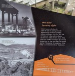
Hydro Electric Power
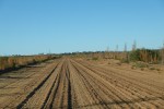
Logging
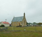
Little Church
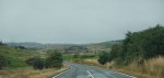
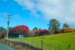
Rolling Hills start 80km out of Hobart
.
Colours
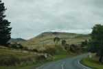
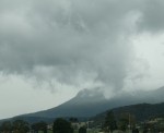
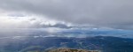
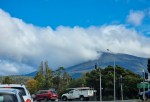
Mt.Wellington, Hobart
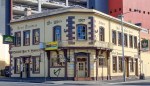
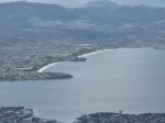
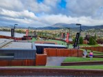
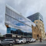
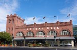
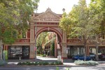
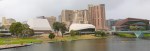
Hobart – population 222,356 reported in the 2016 census, the second smallest of the state capitals after Darwin. There are no skyscrapers and Highway 1 runs through the middle of the city. It receives 40.8 clear days a year and an average of 626 millimetres making it Australia’s second-driest capital city after Adelaide. This translates to a constant drizzle but no heavy rainfall. A very nice city.
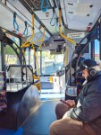
On the Bus
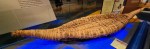
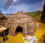
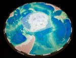
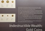
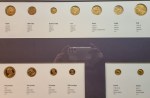
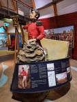
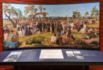
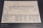
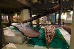
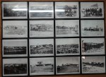
Hobart Museum
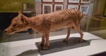
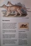
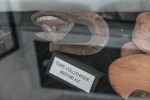
Tasmanian Tiger
Extinct or maybe not?
Thylacine
Boat
House
Antarctica
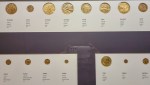
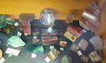
Gold Coins
Gold Coins
Gold Coins
……
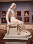
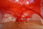
Medusa
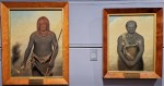
Natives
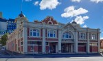
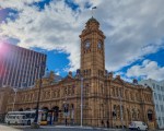
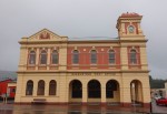
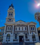
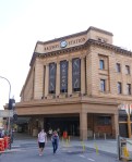
Town Hall
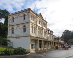
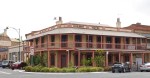
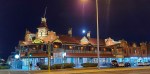
Oldest Hotel
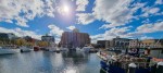
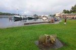
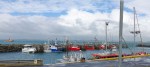
Constitution Dock
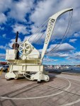
Crane
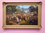
Art
Art
Convicts
Constitution Dock
The Post Office
Art
Elizabeth Mall
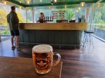
Hobart Hotel, lunchtime
Mt.Wellington
Hobart
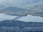
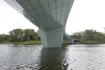
Tasman Bridge
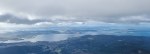
Mt.Wellington
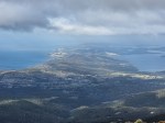
Mt.Wellington
Constitution Dock
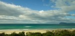
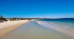
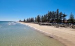
Beaches
Broken
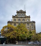
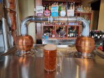
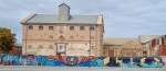
Cascade Brewery
Cascade Brewery
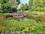
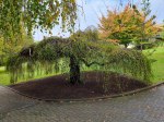
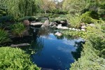
Botanical Gardens
Botanical Gardens
Botanical Gardens
Botanical Gardens
Botanical Gardens
Botanical Gardens
Botanical Gardens
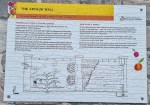
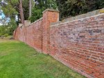
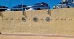
Interesting Wall
Interesting Wall
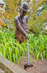
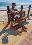
The Gardener
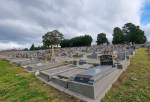
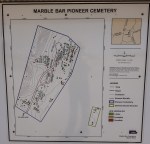
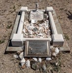
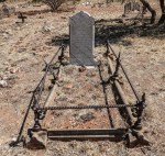
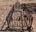
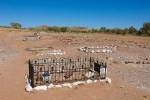
The Cemetery
View from the Cemetery
Mt.Wellington
MONA
MONA
MONA
MONA
MONA
MONA
Elizabeth Street
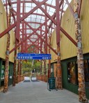
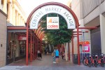
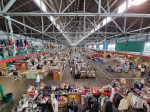
Salamanca Markets
Salamanca Markets
Salamanca Markets
Salamanca Place
Salamanca Place
Salamanca Place
Salamanca Place
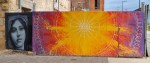
Salamanca Arts
Protestors
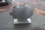
Art
Art
Clock Tower
Good
Art
Art
Art
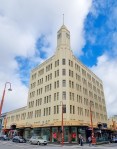
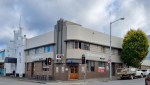
Art Deco
Water
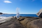
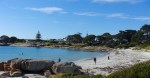
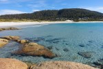
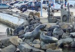
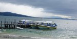
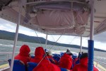
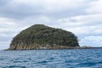
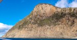
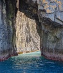
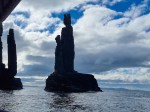
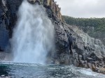
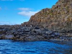
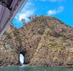
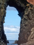
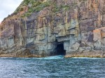
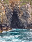
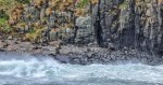
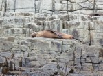
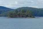
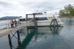
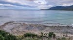
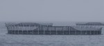
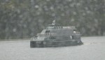
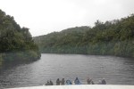
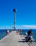
Bruny Island Cruise – I bought a ticket from the Visitors Centre in Hobart, there are various options. I chose to drive down to Kettering and get picked up by the tour bus at 0830, this goes onto the ferry and then a drive to Adventure Bay at the Southern end of the island. Cruise on a small very fast boat starts at 1100 and returns at 1400 but we returned at 1330 after 2.5 hours due to bad weather. Going out was fine though windy and freezing so we got to see most of the sights which are rock formations, a few seals and luckily a pod of dolphins on the way back. The return journey was wild, strong winds blowing the rain sideways, they give you a waterproof poncho which mostly keeps you dry but not my camera which died from water poisoning. Lesson learned, next time its wet use your phone which is waterproof. After that lunch and the drive back home.
Bruny Island
Bruny Island
Bruny Island
Bruny Island
The Boats
On the Boat
Little Island
Cliffs
Tunnels
Pillars
Pillars from the other side
Blowhole
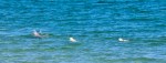
Birds
Tunnel
Closer
The other boat
Cave
Another Cave
Rainbow, ominous
See the Seals
Go away
Rock
Nice weather
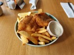
Fish and Chips $21
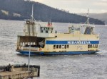
The Ferry back
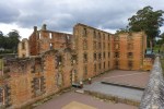
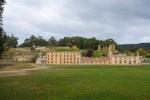
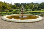
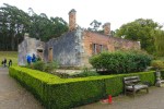
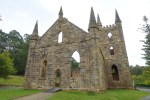
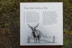
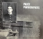
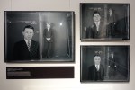
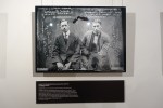
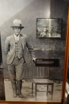
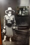
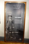
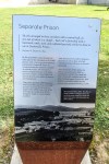
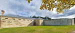
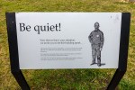
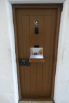
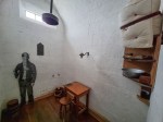
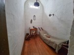
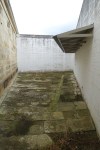
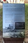
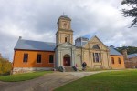
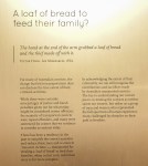
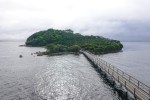
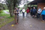
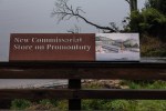
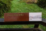
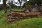
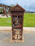
Port Arthur Prison – I went to this place expecting to see a prison but instead I saw nicely manicured parklands with some old houses hahaha not what I was expecting. The only place that I found interesting was the Separate Prison used for Solitary Confinement which has been rebuilt. There was also an interesting exhibition of Mug shots from the early 1900’s of criminals from Sydney.
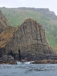
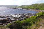
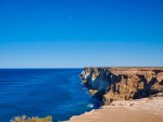
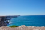
On the way back I stopped to see some rock formations along the coast.
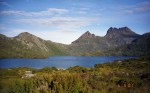
On the way from Somerset to Queenstown I had to go past Cradle Mountain NP so I decided to have another look as it was earlier in the day and should not be so crowded. I arrived there at 10:00 and the car park was less than half full. First I had to go into the Visitors Centre and show them my Parks Pass and received a Shuttle Bus Ticket in return, you will not be allowed on the bus without this ticket. Another day of drizzle, 15 minute ride to Dove Lake, off the bus in a drizzle and walked along a boardwalk to the Lake, could not see a thing, took one photo and back to the bus stop, disappointing. I have included a photo from my last trip to Dove Lake in 2001, I was lucky that time 4 days and no rain hahaha. It also used to be a dirt track from the main road and you could ride right up to the Lake. So far 4 days and rain every day.
Shuttle Bus 2021
Shuttle Bus 2001
Boardwalk
Directions
Dove Lake 2021
Dove Lake 2001
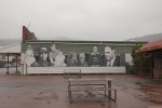
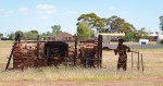
Queenstown was where they mined copper for many years and in its heyday had a population of 10,000. The landscape has still not recovered but it is in better shape than it was 20 years ago with some of the barren mountain slopes starting to get covered in forest. Copper mining continues but they are not damaging the environment now.
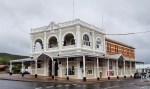
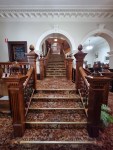
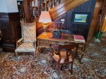
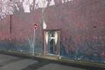
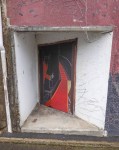
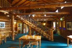
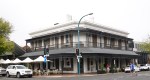
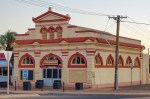
The Empire Hotel in Queenstown has a very elaborate staircase that is heritage listed and there are some other old buildings that have been restored. There are also murals if you take the time to walk around the town in the rain.
The Empire Hotel
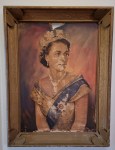
The Queen
The Heritage Listed Staircase
The Heritage Listed Staircase
The Empire Hotel
.
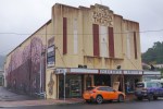
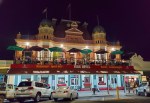
The Paragon Theatre
The Paragon Theatre
The Paragon Theatre
The Paragon Theatre
The Paragon Theatre
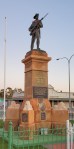
War Memorial
.
Hunters Hotel
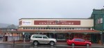
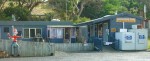
General Store
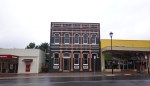
The Post Office
Leaning
.
.
.
.
.
.
.
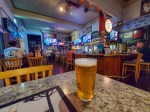
Boags Draught
The Empire Hotel
Around Queenstown
A patch of blue appears for a minute hahaha
Trees are coming back
Moonscape
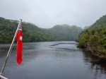
The Gordon River cruise from Strahan is one of the touristy thing you are required to do when you visit this area. There are two cruise boats and I went with World Heritage Cruises and I have only good things to say about them. The boat is new and immaculate and you are allowed to wander anywhere even join the Captain in the bridge and sit up there with him for the best view in the house. I booked the most expensive ticket ($185) which was top deck window seat but in hindsight I should have booked the cheapest ticket ($135) and spent my time on the bridge or anywhere else on the boat and only gone back to my seat for lunch. The cruise was interesting but again with the mist and drizzle views were limited and the guided tour around the Sarah Prison island interesting but miserable in the rain. There was another stop for a rain forest walk but it was raining and I did not get off the boat, The cruise leaves at 0900 and returns at 1500 hours.
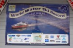
World Record
Strahan
Strahan
Strahan
Strahan
Strahan
Cleaning
Top Deck
Mostly vacant seats
Sarah Prison Island
Sold Out
Macquarie Heads
Narrow
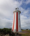
Lighthouse
Salmon and Trout Farms
Closeup
Looking BAck
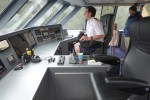
The Bridge
Radar
Sarah Island
The Tour
Sarah Island
Sarah Island
Sarah Island
Sarah Island
Sarah Island
The Boat
Lunch
The other Boat
Gordon River
The Captain
Gordon River
Gordon River
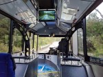
The Wilderness Railway another touristy option, you have to book weeks in advance to get a seat on one of the trips. I did not but they managed to find me a seat on one of the trips and it was of course the most expensive class $185, same view but better seats and food included. This railway was built to carry the copper from Queenstown to the port at Strahan and it was not an easy task. The tracks run along the mountainside with a cliff on one side and a steep drop to the King River on the other. Very well organised, the trains are immaculate and overall an interesting experience. The train leaves at 0900 and returns at 1300, there are three stops, Lower Landing, Dubbil Barril and Lower Landing on the way back. There are longer trips to Queenstown.
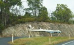
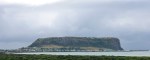
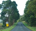
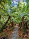
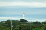
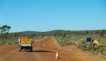
I used Somerset as a base to explore the North West area of Tasmania. On the first day I visited the Nut, a huge rock which is the remnant of a volcano, the Edge of the World which is a rocky coastal area with strong winds and huge piles of driftwood, Trowutta Arch which is a magical walk through a Fern forest like something out of a fairy tale and finally Dip waterfall. Distance covered 416 km in 8:45 hrs over some very torturous winding roads, a fun drive in drizzly weather.
Road Art
The Nut
Pathway to the Top
The Nut
Stanley town
Seal Cruises
Closeup of the Nut
Fishing Boats
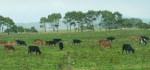
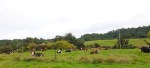
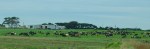
Farms
Edge of the World
Edge of the World
Edge of the World
Edge of the World
Edge of the World
Edge of the World
Edge of the World
Edge of the World
Edge of the World
Edge of the World
Edge of the World
Devils
Honey
Rivers
Lookout
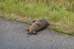
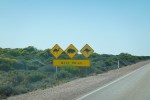
Hundreds of Pademelon Roadkill
Farming
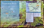
Trowutta Arch
Trowutta Arch
Magic Forest
Magic Forest
Magic Forest
What goes down must come up
Trowutta Arch
Trowutta Arch
Sinkhole
Magic Forest
Magic Forest
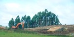
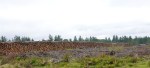
Logging Industry
Dip Falls
Dip Falls
Dip Falls
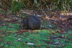
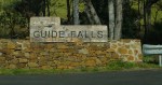
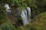
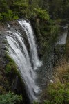
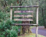
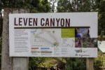
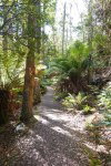
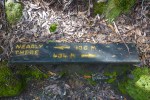
On the second day I visited Fernglade hoping to catch a glimpse of a Platypus no such luck but I did see a few Pademelon. Guide Falls a beautiful waterfall. Hellyer Gorge which turned out to be a walk through a forest to a river and back, very nice. Cradle Mountain which was crowded so I turned around. Champagne and Bridal Falls to which the road was closed but I discovered Lemonthyme Wilderness Retreat while searching for the road and finally a 570m walk uphill to the spectacular Leven Canyon. I drove 298 km in 9:10 hrs, mainly fine weather with a couple of hours of drizzle, another great day.
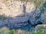
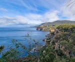
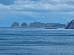
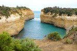
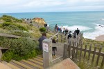
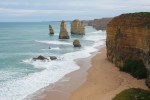
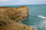
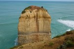
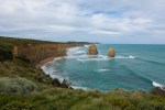
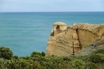
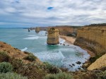
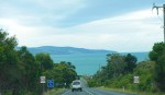
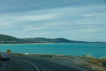
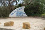
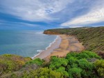
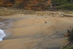
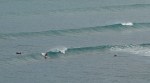
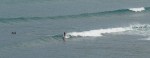
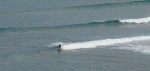
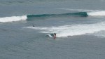
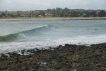
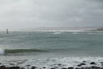
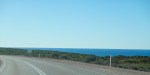
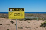
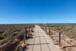
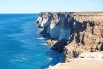
Left Mount Gambier at 0810 or 0840 Eastern Standard Time, this will be the last time I have to change the time on all my devices. I crossed the Victorian border after about 20 minutes, the speed limit drops from 110 to 100 kph. I have to look out for Toll roads in Melbourne, just in case I get lost I downloaded an app called LinktGo that pays the tolls and charges a $0.95 commission, there are no Toll Booths, it can only be done online. Victoria and NSW are the only states with private toll roads. I followed the Great Ocean Road, one of the great driving roads, my first time in a lumbering 4×4, every other time on a bike, on par with Highway 1 in California, E65 in Croatia and D010 in Turkey, there are others but I can’t remember them offhand. Non stop curves, beautiful views of the ocean, picturesque villages along the way. I stopped at the Loch Ard Gorge, Twelve Apostles, Bells and Torquay Surfing Beaches but no decent waves for the surfers and took some photos.
Port Fairy
Farms
16c
Loch Ard Gorge
12 Apostles Lookout
12 Apostles
Anothet Lookout
1 Apostle
2 Apostles
.
12 Apostles
The Sea
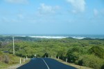
Great Ocean Road
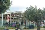
Apollo Bay
Winding Roads
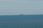
A ship
Lorne
The Sea
Waves
Great Ocean Road
Lighthouse
Roadworks
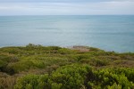
Bells Beach
Bells Beach
Lookout
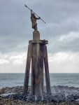
Surfer and his Dog
Surfer 1
Surfer 2
Surfer 3
Surfer 4
Torquay Beach
Torquay Beach
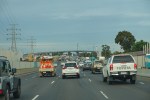
Melbourne Traffic andthe Bridge
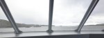
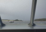
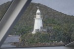
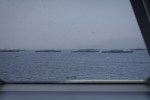
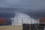
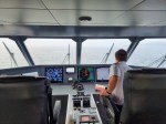
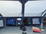
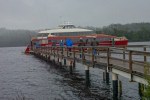
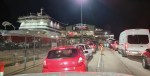
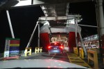
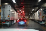
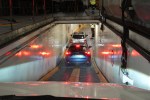
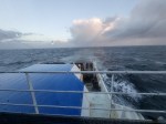
I stopped at Port Melbourne to fill up with Diesel and a HJ Oreo Thick Shake and arrived at the Ferry at 1805. Boarding started at 0835, I was asked to open the Bonnet and the Boot, the guy had a cursory look and gave me a mask and said I had to wear it at all times on the boat. Followed the queue and had to show the Booking receipt on my phone and received a Ticket in return, wait and wait and wait, finally drove onto the boat and parked at 2050. Went straight up to the Recliner Lounge, you have to use your ticket to open the door and the Recliners are huge with extending footrests and every other seat is vacant due to Covid, very comfortable. Cost of the ticket was $230 (this varies from $110 to $350 depending the sailing time and date), cars free as they are trying to encourage tourist to visit Tasmania. My phone had a signal the whole trip, they must have a Small Cell Satellite connection. We docked at Devonport at 0745, and I was off and running at 0840. I had some time to kill untill hotel check-in so I did some sightseeing in Devonport though it drizzled almost the whole time.
Ceduna to Adelaide only stopped twice for fuel 776 kms in 8 hours.
South Australian Wheat Silos
Fuel Stop
Iron Knob
Port Augusta
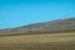
Wind Farm
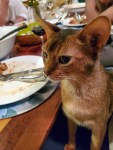
Abyssinian
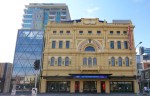
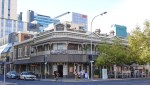
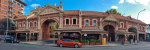
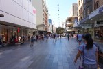
Adelaide – population 1.35 million, the smallest of the big five Australian State Capitals and a very nice city. Broad streets with wide pavements and a bustling City Market. Public transport consists of busses, trams and trains, there is a free transit zone in the city. I only used the Bus and Moovit is the app you need for public transport, this is the same app I used in Trieste, Italy, they work in collaboration with the city who therefore don’t have to develop their own app, very good.
Glenelg and Brighton Beach, where the Adeladians go for some sun and sand, beautiful beaches. I visited the small and free museum in the Visitors Centre.
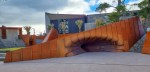
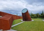
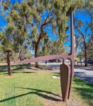
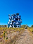
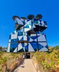
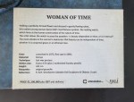
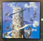
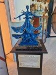
McLaren Vale – South Australia is known as the wine capital of Australia and Mclaren Vale is one of the regions famous for its wines. The most outstanding feature of this area is the D’Arenberg Winery which has a unique piece of architecture shaped like a Rubik’s cube which houses a Salvadore Dali exhibition, an amazing place and a must see.
D’Arenberg Winery
D’Arenberg Winery
D’Arenberg Winery
D’Arenberg Winery
D’Arenberg Winery
D’Arenberg Winery
D’Arenberg Winery
D’Arenberg Winery
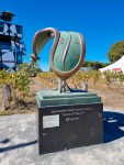
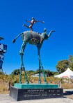
The Sculptor
The Cube
Salvadore Dali and Time
Dali
Dali
The Cube
Enter
Video
Video
Super Woman
.
.
.
Men’s
.
.
.
.
.
.
.
.
.
.
.
.
A new word
Looking out of the Cube
Lunch at Harry’s
Lunch at Harry’s
Lunch at Harry’s
Lunch at Harry’s
Aldinga Beach Puppies
Aldinga Beach
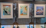
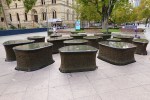
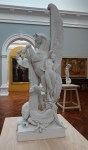
Adelaide – The Museum, Art Gallery, Rundle Mall, City Markets, Himeji Garden, River Torrens or Karrawirra Parri, North Adelaide.
Warrior
Flinders
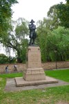
War Memorial
Clock Tower
Museum Fountain
.
The Necklace
Tribes
Art
Boats
.
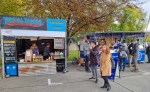
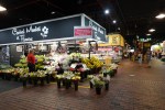
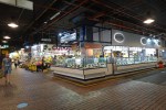
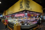
City Markets
City Markets
City Markets
City Markets
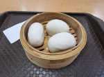
Red Bean Rice Buns
From here
City Markets
City Markets
City Markets
.
.
.
.
Railway Station
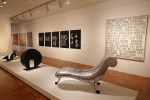
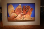
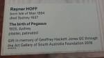
Art Gallery
Art Gallery
Art Gallery
Art Gallery
Art Gallery
Art Gallery
Art Gallery
Art Gallery
Art Gallery
Art Gallery
Painful
Painstaking
Bronze
.
To Mack
.
Expedition
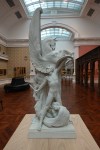
Pegasus
Pegasus
Pegasus
City Bikes
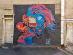
Mural
.
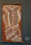
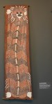
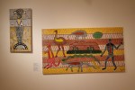
Aboriginal Art Gallery
Aboriginal Art Gallery
.
Himeji Garden
Himeji Garden
Himeji Garden
Himeji Garden
Himeji Garden
Mural
Warming up
North Adelaide
North Adelaide
North Adelaide
North Adelaide
North Adelaide
North Adelaide
Hotel Archer
Hotel Archer
Archer Stein 1.1L
Pink Pig
Melbourne Street
Melbourne Street
Melbourne Street
The River and the Bridge
Under the Bridge
On the Bridge
From the Bridge
.
.
Adelaide Oval
Rundle Mall
Rundle Mall
Rundle Mall
Rundle Mall
Rundle Mall
Rundle Mall
Rundle Mall
Rundle Mall
Rundle Mall
Sweet Shop
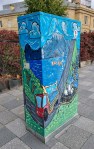
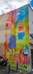
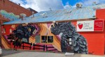
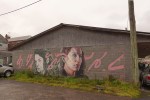
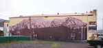
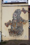
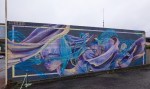
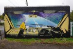
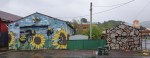
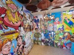
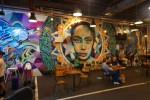
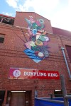
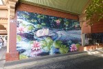
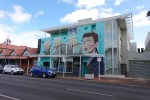
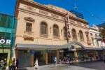
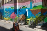
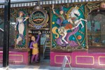
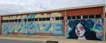
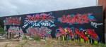
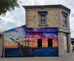
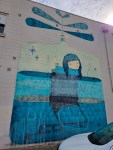
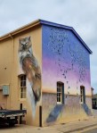
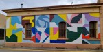
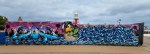
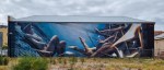
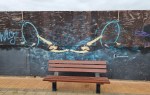
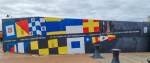
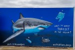
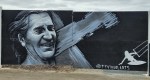
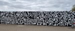
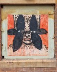
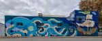
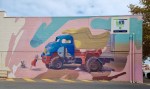
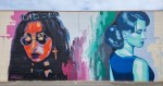
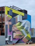
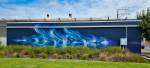
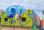
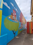
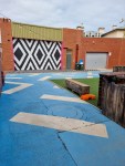
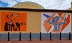
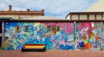
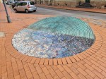
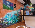
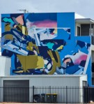
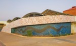
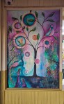
Port Adelaide where Street Art Wall Murals abound. I spent half a day walking around looking for these murals.
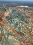
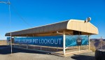
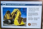
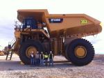
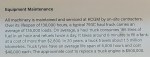
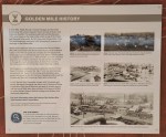
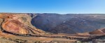
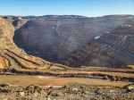
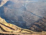
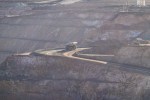
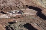
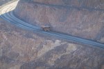
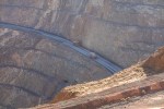
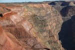
Kalgoorlie Superpit – First stop was the Superpit Lookout on the outskirts of Kalgoorlie, this never ceases to amaze me. The scale is so big that the monstrous trucks used to haul the ore out of the pit look like toys.
The Big Picture
The Lookout
A Shovel
The Shovel Machine
Cheese
Spot the Humans
Maintenance
History
Geology
Blasting
Open Pit
Mineral Processing
The Pit
Closer
Avalanche
The Trucks
The Trucks
Blasting
The Trucks
Passing
Building a Road
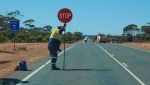
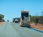
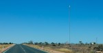
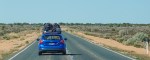
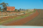
Now for the long drive to the WA/SA Border, I wasn’t exactly sure where I was going to stop for fuel or spend the night, just got going and stopped when I felt tired. I can travel 600 km with another 100 km in reserve if necessary but I try to stop at least once every four hours. First stop was Balladonia, next Madura Pass and finally the WA/SA Border Village where I spent the night. I had to apply for a visa to enter South Australia giving them details of where I was coming from and where I had been in the past two weeks and I was told to keep the permit with me at all times. But when I arrived at the border there was no one there and a sign that said “No need to stop” hahaha.
Cornwall Hotel
Heading out
Roadworks
Roadworks
Roadworks
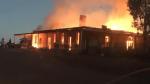
Bushfire
More Roadworks
Roadworks
Balladonia
Balladonia
Balladonia
146.6 km Straight Road
Trees
Traffic Jam
Mobile Phone Tower
Moving House
Cocklebiddy RH
Madura Pass
Madura Pass
Mundrabilla
Emergency Airport
Snakes
Showers
Border Village Camping
From the Border Village I drove to Ceduna where I camped for three nights while I made enquiries about the tracks I had planned to travel on. Due to heavy rain 125mm in the Simpson Desert area all roads in the area were closed and would not be open for some time, Googs Track was open but it was on the way to the Simpson so no point in travelling in that direction. Therefore I decided to keep following the coast and after I reached the top end come back down to the middle, the weather in winter would also be cooler in the desert.
This is the start of a lap around Australia. I hope to visit places that I missed on my last three rides. As I am in a 4×4 this time I can carry enough food, water and fuel to enable me to travel roads and visit places I could not on my bike.
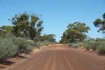
First stop Kalgoorlie, I decided to take the scenic route from Perth via Hyden and the Hyden-Norseman Road turning left on Victoria Rock Road which would then take me on to the Great Eastern Highway and Kalgoorlie. Most of the Hyden-Norseman road is gravel in good condition because mining road trains use it and they presumably pay for its maintenance. The Victoria Rock Road is narrower and not in as good condition and I did not see a single other vehicle over its entire 141 km length. You still have to check with the relevant Shires and there are three of them to make sure the roads are open because when it rains they get flooded. This route can also be driven in a normal car.
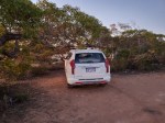
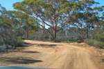
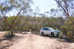
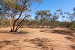
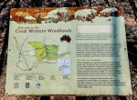
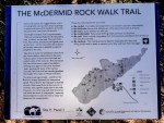
I stopped and filled up at Kondinin and all went well until I reached McDermid Rock campground where I planned to do some exploring on foot, stay the night and carry on the next day. When I arrived there the temperature gauge in my car read 41c and I was surrounded by a million flies. I had something to eat, took some photos and after 30 minutes of torture hahaha decided to head directly to Kalgoorlie as it was only 15:15. I stayed in Kalgoorlie for three nights with temperatures hovering around 40c. I had also planned to stay a couple of nights camping in Menzies so I could visit Lake Ballard and Ora Banda but decided to drive there and back instead.
Call the Shire before you arrive here
Long, straight and paved
Long, straight and not paved
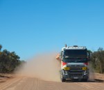
Road Trains
Dust
Can’t see a thing
Can’t see a thing
Keeping the road smooth
Emily Ann Mine
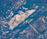
McDermid Rock – Google Earth
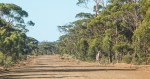
The road in
Nice and warm
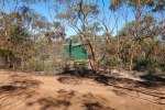
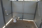
It has a dunny
Room for friends
The Walk
Nice Campground with Fire pits
Woodlands
The Walk
Who is that
Blondie
Feeling safe now
Victoria Rock Road Turnoff
The Road
Corrugated in parts
Victoria Rock
Victoria Rock – Google Earth
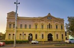
Having visited Kalgoorlie in the past I did not feel the need to wander around in the heat. This time I stayed at Forrest House, listed on Airbnb, it is cheaper and much nicer than any of the Hotels and Motels and it has secure parking inside a gated compound.
Clock Tower
The York Hotel
Inside
Exchange Hotel – Noisy
Hannan’s Pool Table Fridge
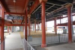
The Railway Station
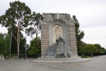
War Memorial
Pretty
Art
Pretty
Art
Kalgoorlie Hotel
Inside
Town Hall
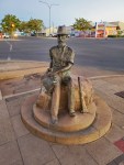
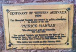
He started the Gold Rush
Patrick Hannan
Art
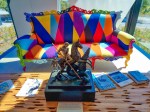
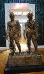
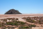
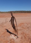
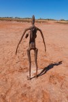
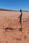
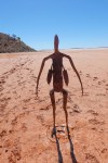
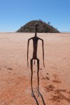
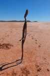
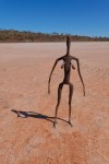
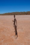
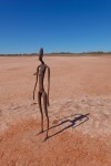
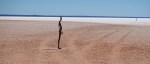
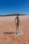
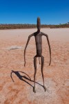
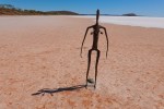
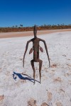
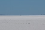
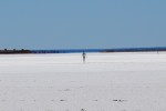
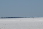
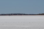
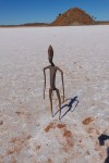
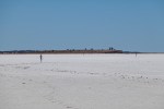
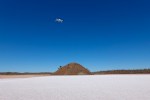
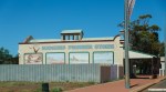
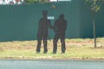
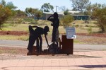
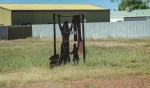
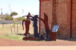
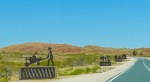
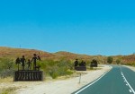
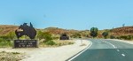
Lake Ballard – LAKE BALLARD and ANTONY GORMLEY’S “INSIDE AUSTRALIA”
“Invited by Sean Doran, then the Artistic Director of the Perth International Arts Festival, to make a work to celebrate the festival’s 50th anniversary in 2003, Gormley accepted the challenge, and later noted: “I just wanted somewhere with an absolutely flat, more or less 360 degree horizon. [I chose] the west of Lake Ballard, which is an extraordinary lake 70 miles long and 30 miles wide, with this sodium crust that makes everything stand out absolutely clearly.
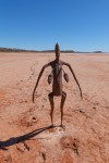
This was the main reason for and definitely the highlight of this stop, it’s about a 2 hour drive from Kalgoorlie with the last 20 km being a good gravel road, a normal car can do this drive very comfortably.
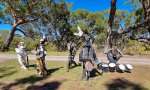
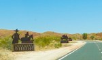
The statues are spread around quite a large area, I walked about 3 km and only saw about fifteen of them and then I had some fun flying my drone. Once again the heat and flies were annoying but not so much on the lake bed itself as there was a stiff breeze blowing which helped keep me cool and also kept the flies away. When I got back to my car the temp gauge read 47c but it did not feel that hot, it felt about a comfortable 40c hahaha.
Heading out of Kalgoorlie
Turn here
Lake Ballard
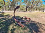
Sculpture
Sculpture
Sculpture
Sculpture
Sculpture
Sculpture
Sculpture
Sculpture
Sculpture
Sculpture
Vehicle Tracks
Sculpture
Sculpture
Bicycle Tracks
Sculpture
In the Shade
Sculpture
Spot the Sculptures
Spot the Sculptures
Spot the Sculptures
Spot the Sculptures
Spot the Sculptures
Yellow
Boy Child
Spot the Sculptures
Drone
47c
Menzies
Menzies Art
Menzies Art
Menzies Art
Menzies Art
Menzies Art
Menzies Art
Menzies Art
.
.
.
I then went looking for the Ora Banda Hotel unsuccessfully as there is nothing left to see.
“The town hit the headlines in 2000 when Gypsy Joker, Billy Grierson, was fatally shot while sitting at a camp fire on the old town site. Former Criminal Investigation Bureau chief and Ora Banda hotel owner Don Hancock was suspected of the shooting and his properties were later fire-bombed. Hancock was later killed in a car bombing in 2001 in Perth in a revenge attack by a member of the Gypsy Jokers.
In the early hours of the morning of 18 May 2019, the hotel was destroyed by fire.”
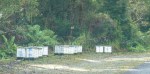
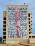
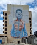
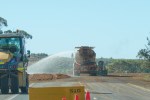
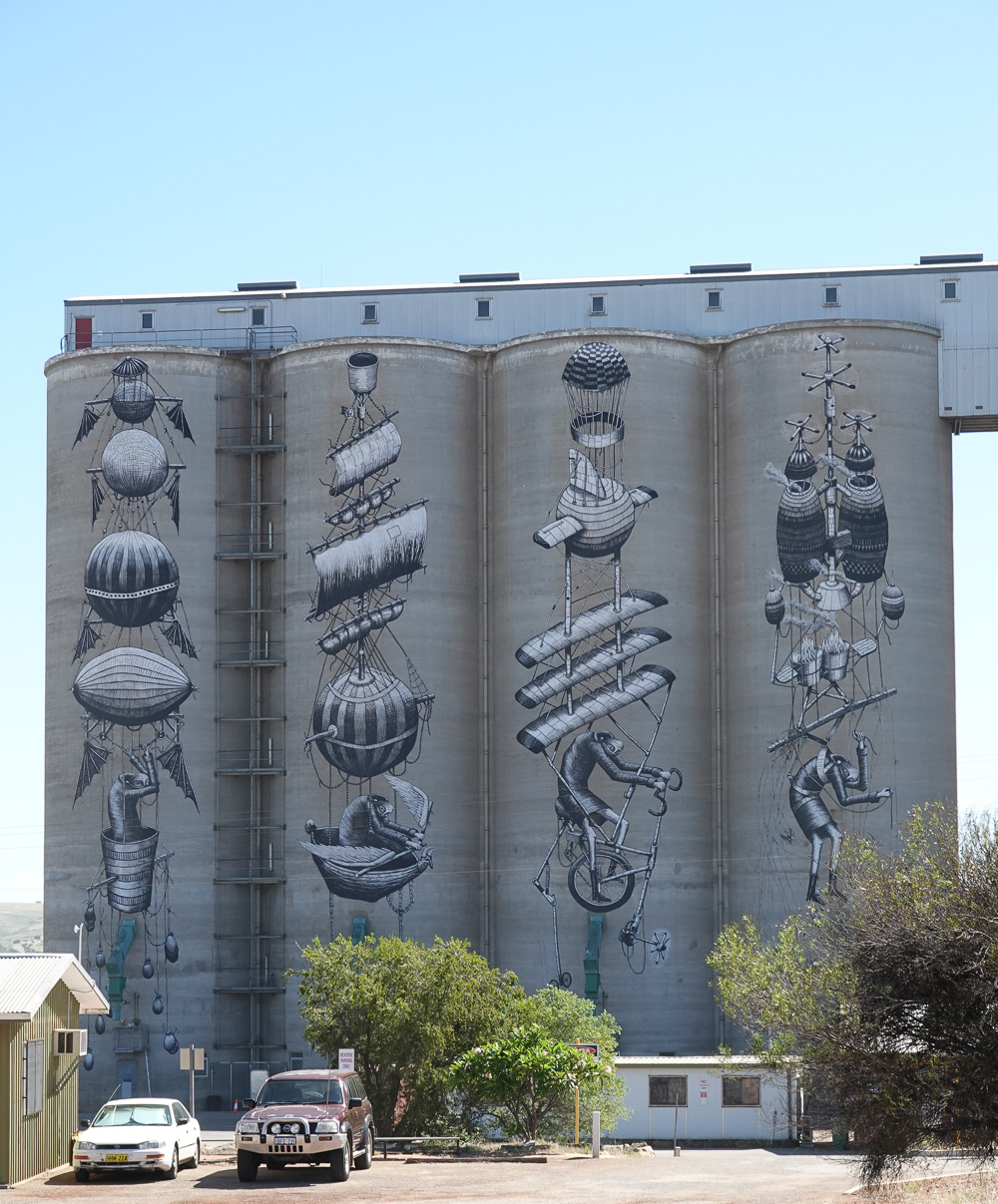
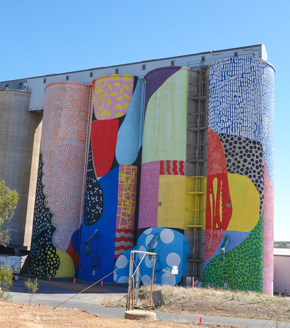
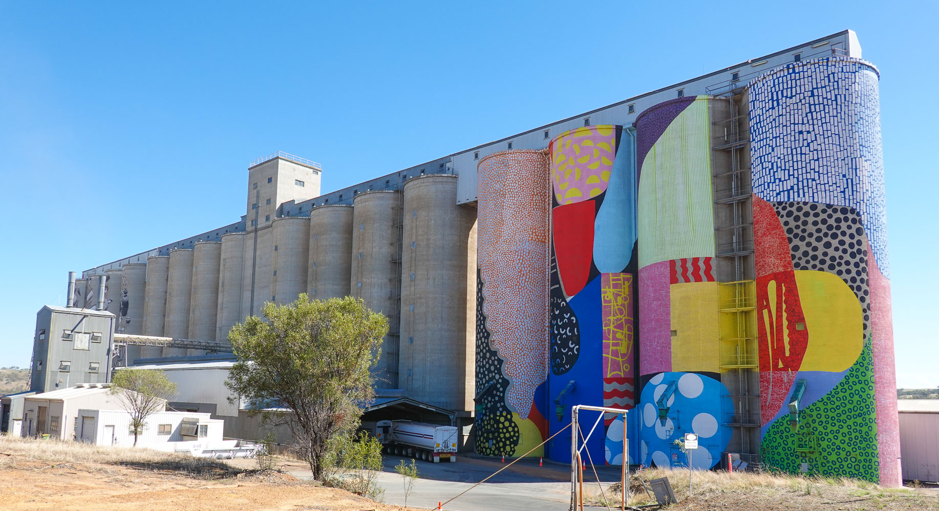
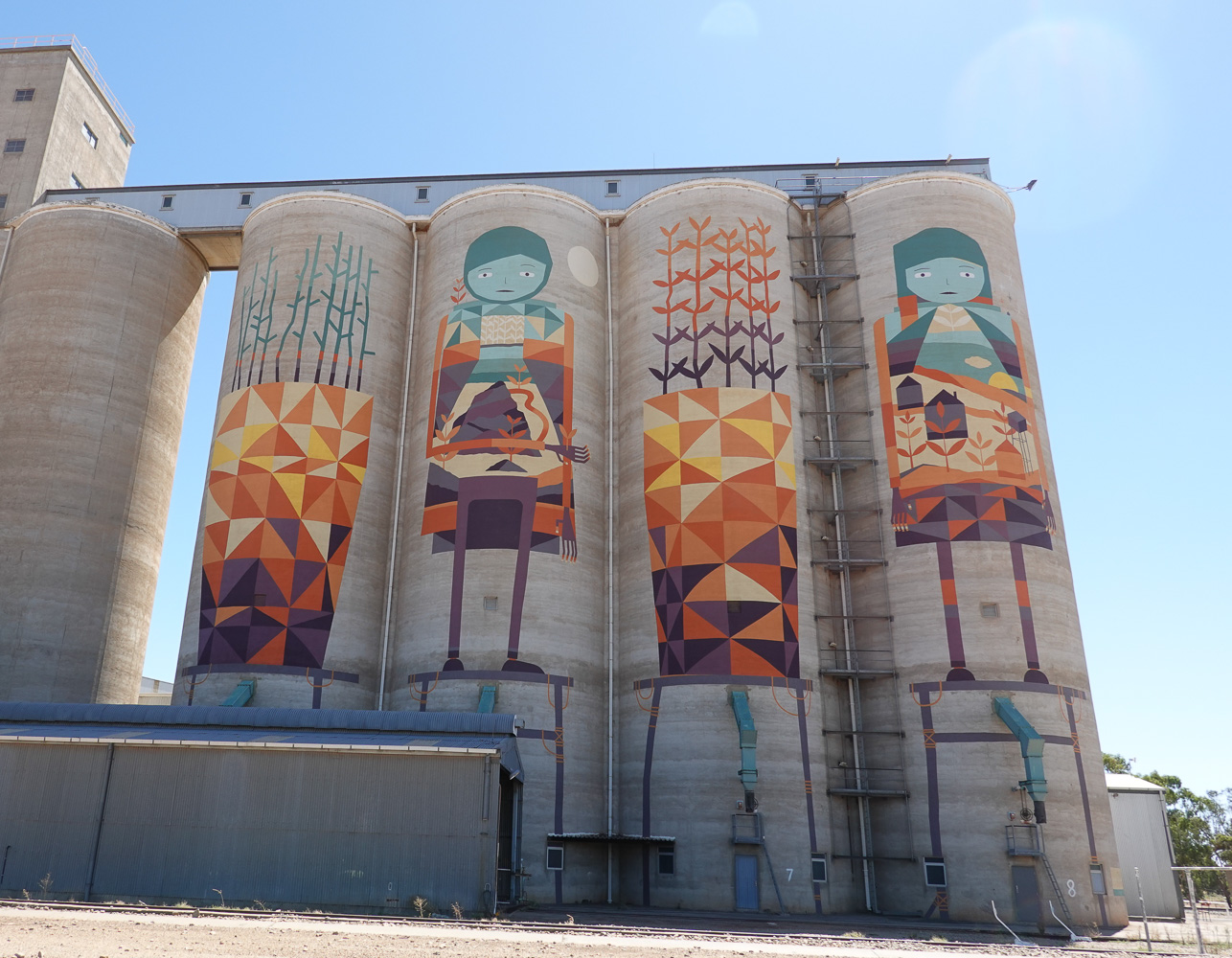
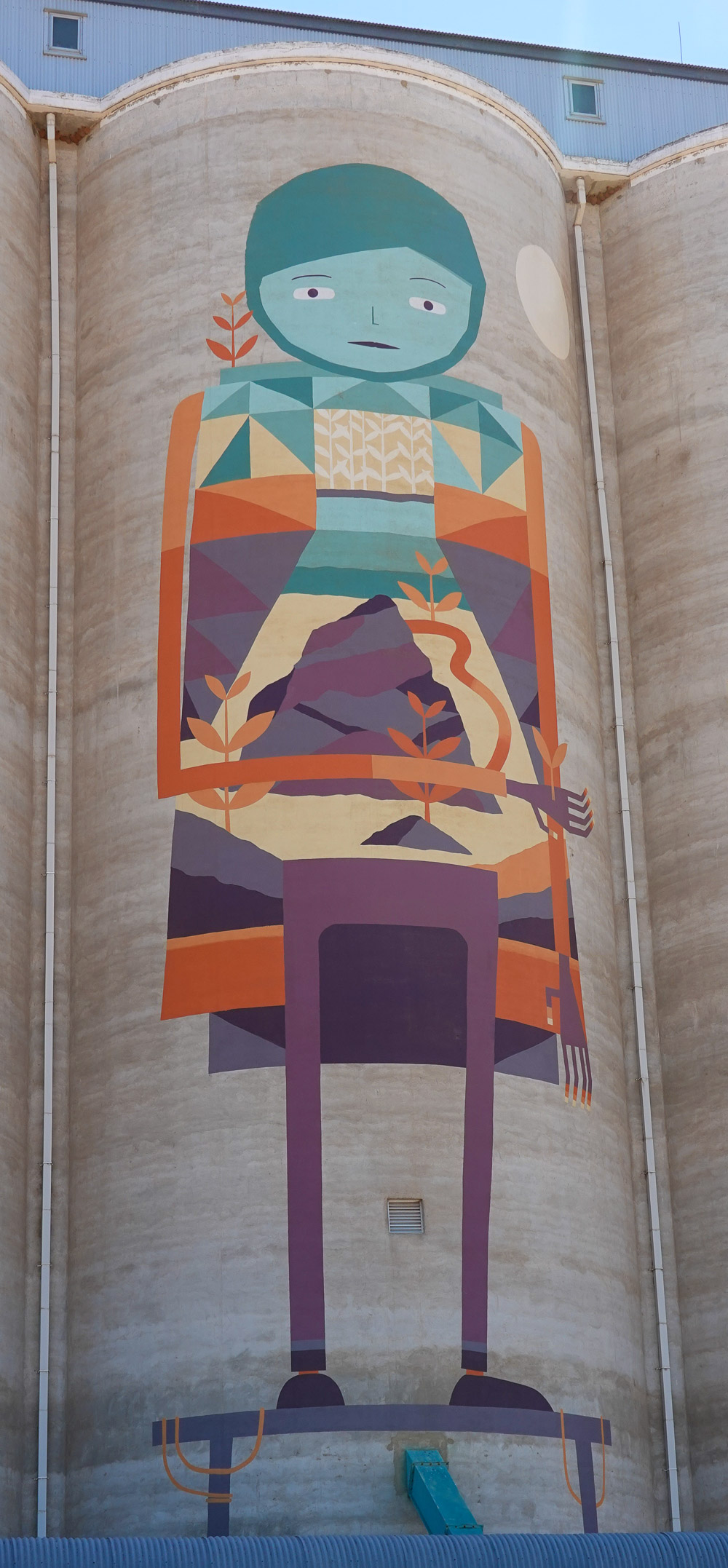
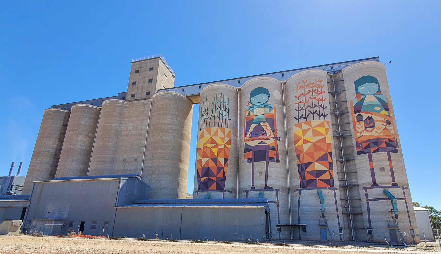
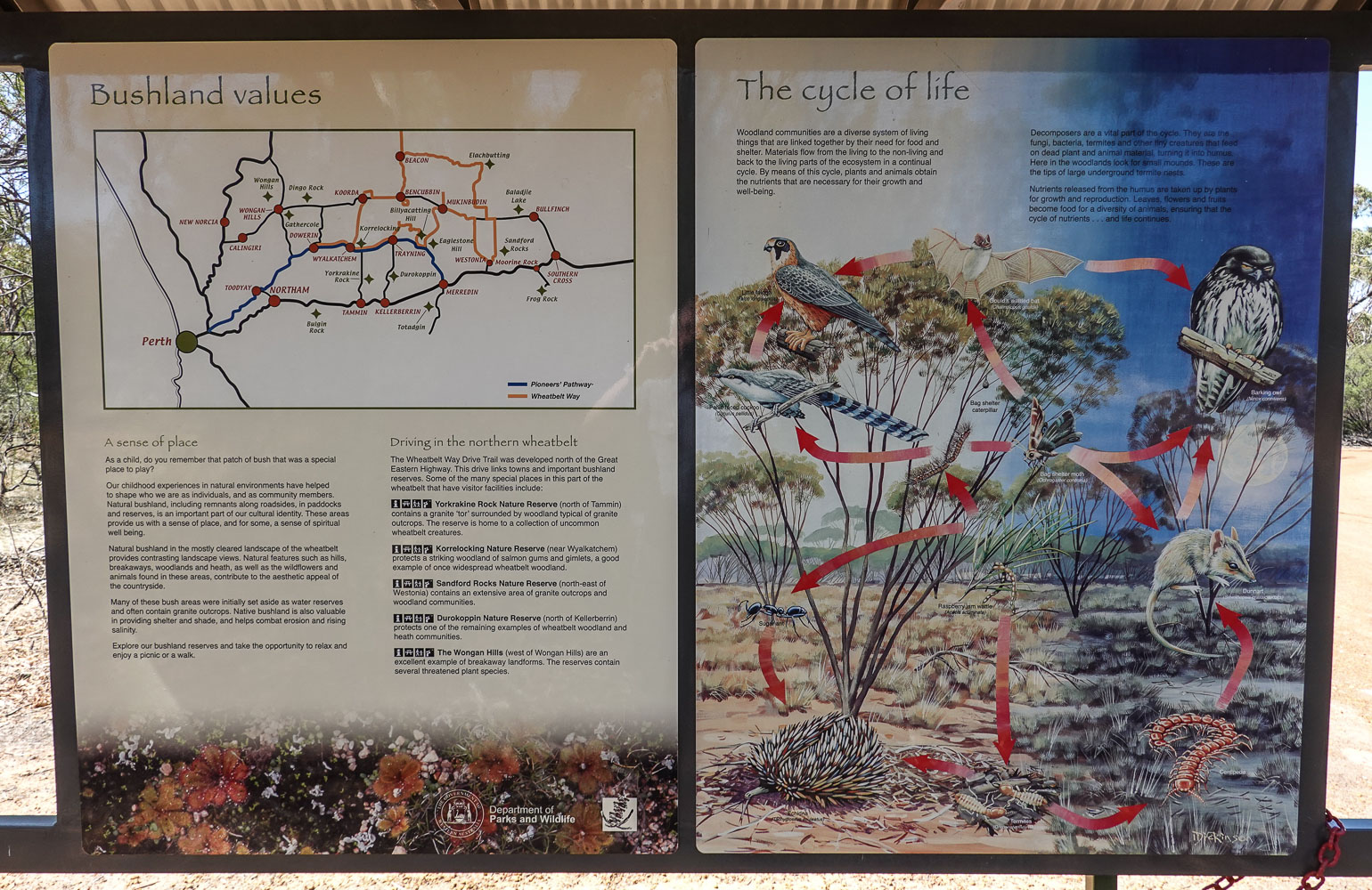
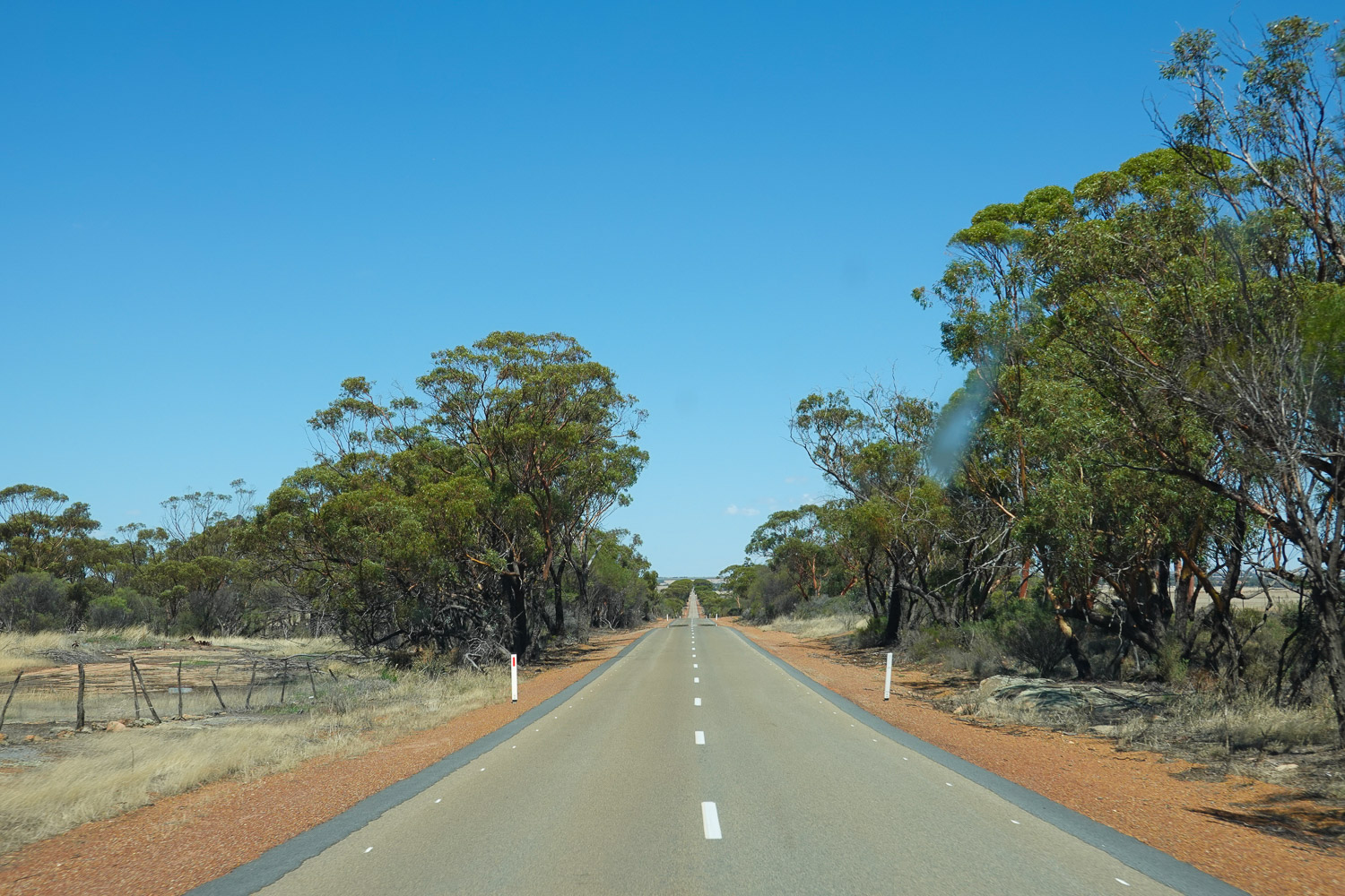
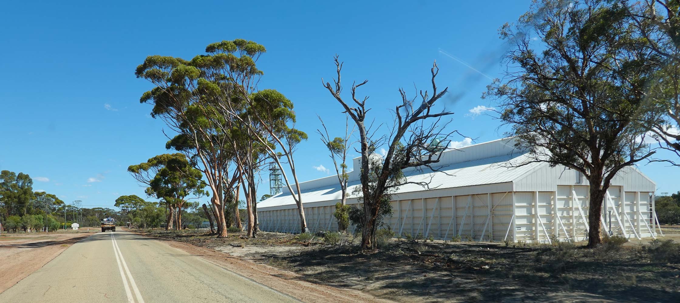
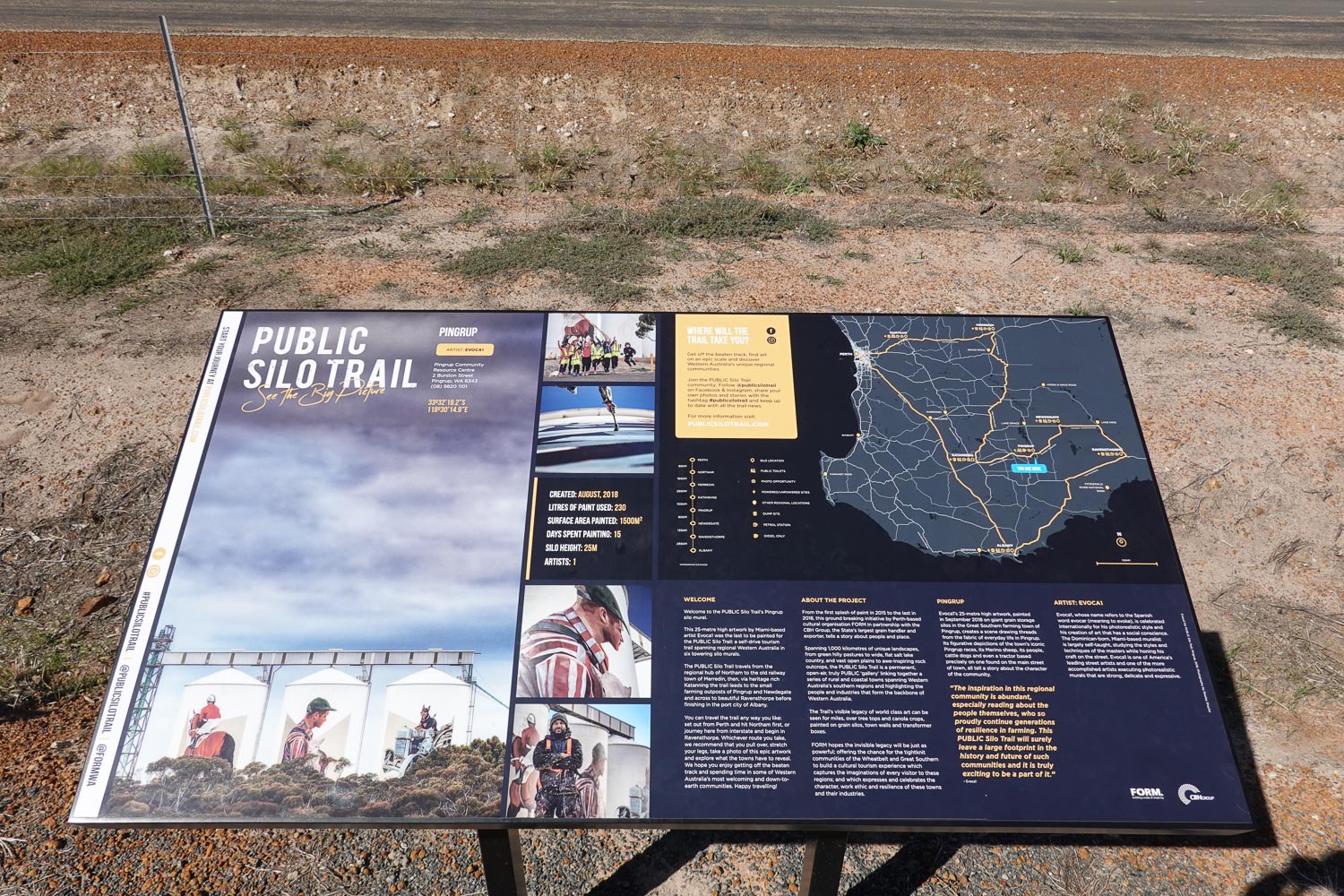
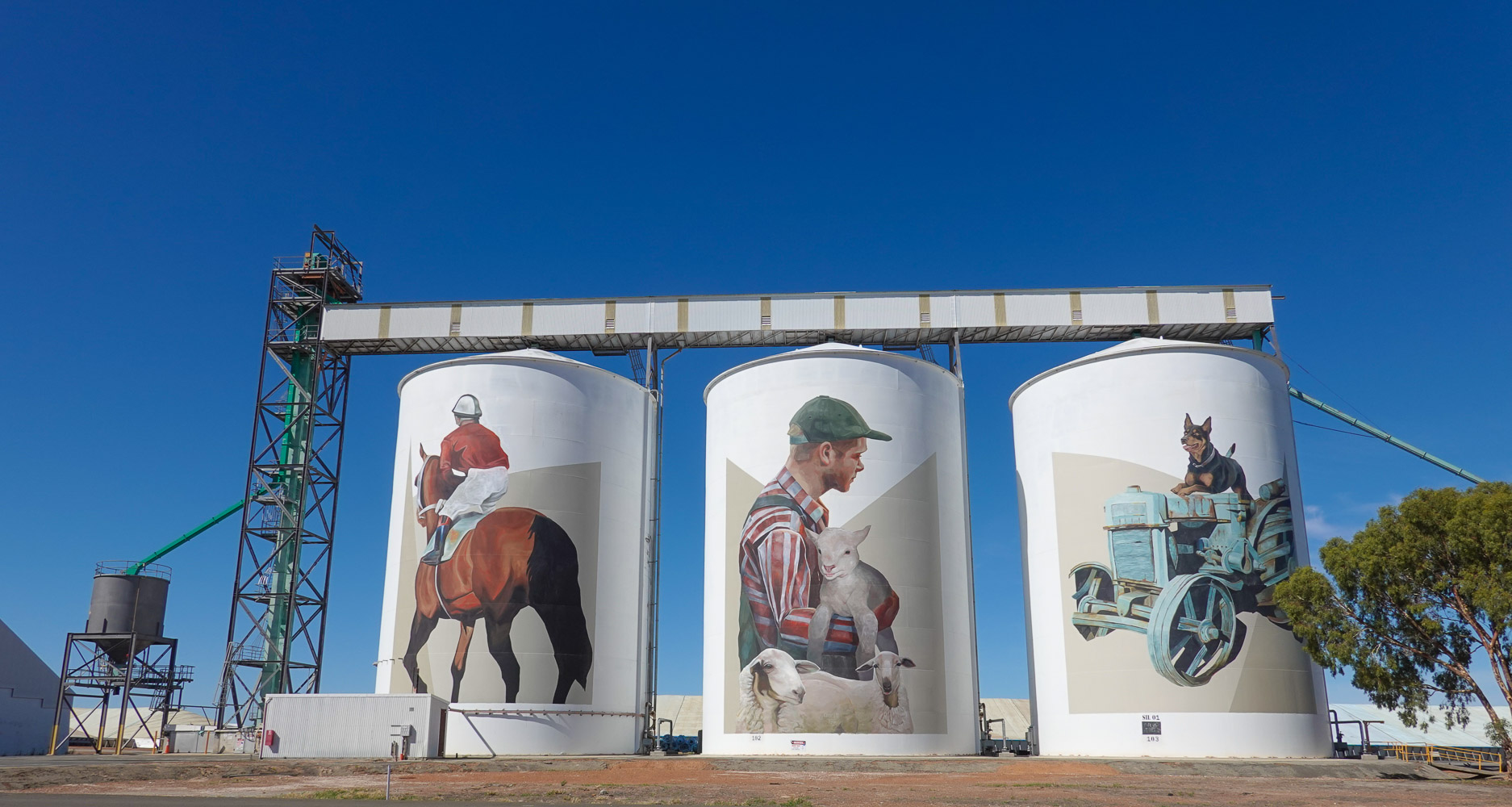
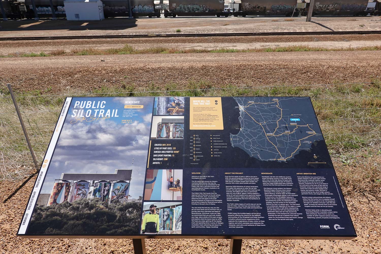
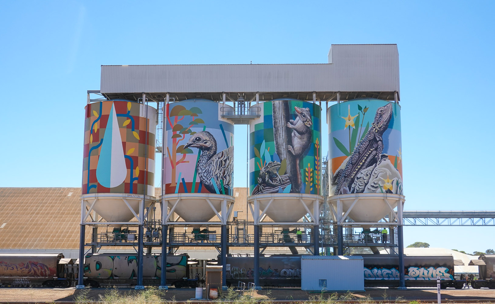
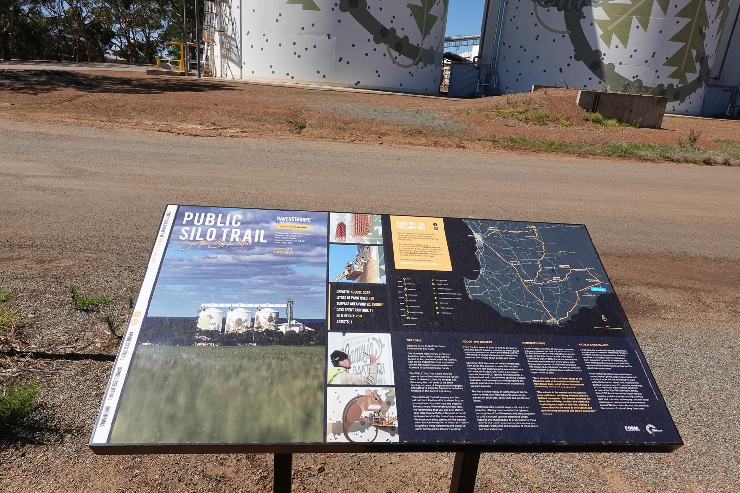
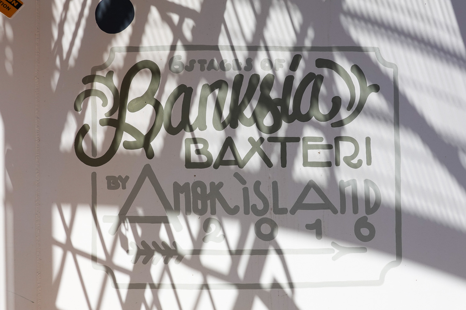
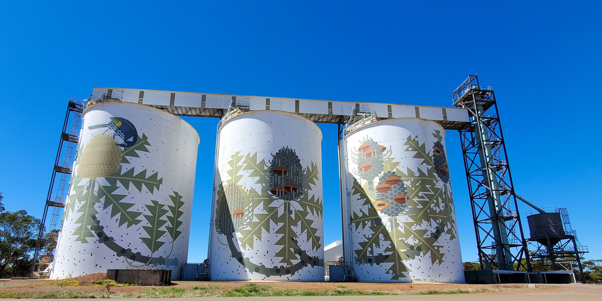
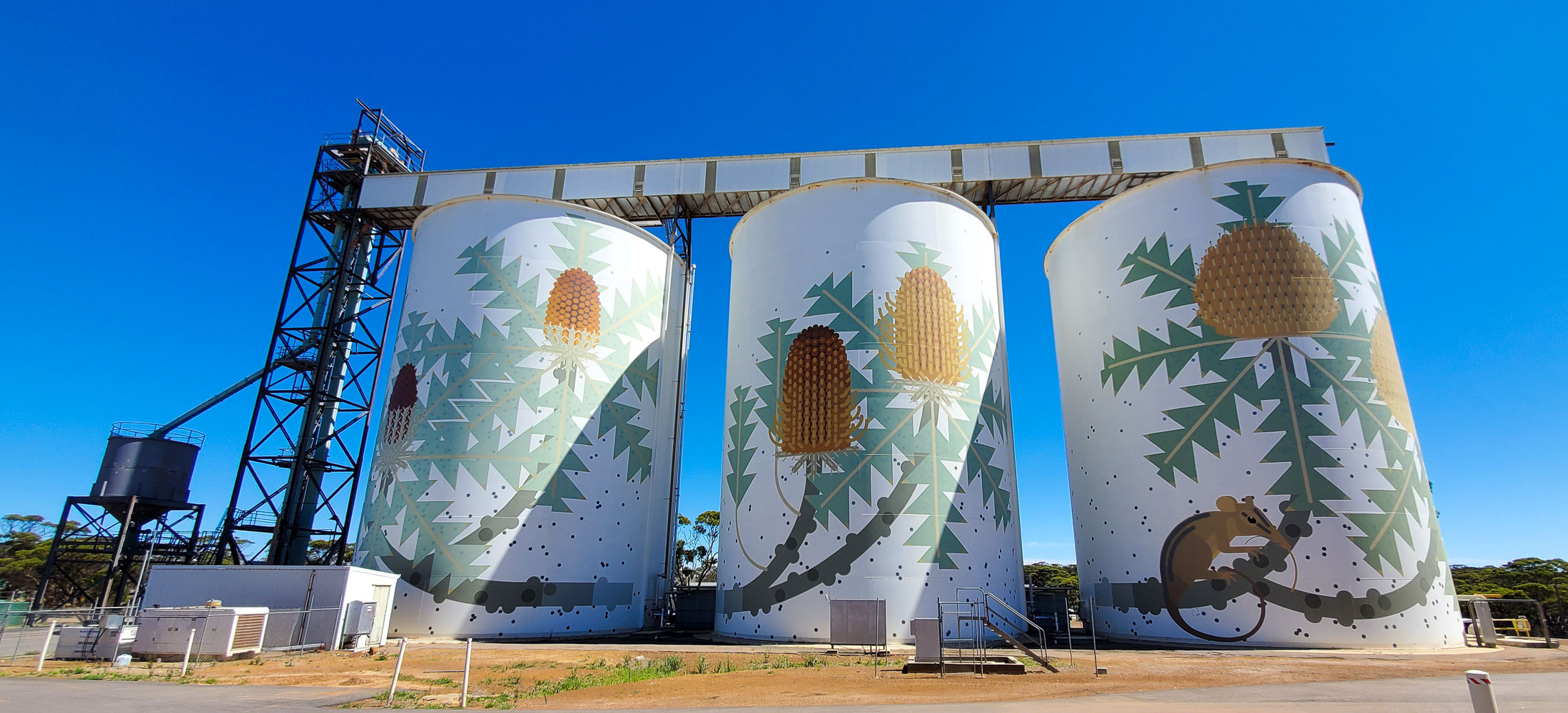
My new car arrived on 16 March, I had to drive 1,500 km and get the first service done so I decided to follow the Silo Trail. This is in the Wheatbelt area of Western Australia. CBH the grain company provided the funds to bring artists from all over the world to paint these huge grain silos.
“Wheat is the major grain crop produced in Western Australia making up 65% of annual grain production and generating A$2-3 billion for the State each year. Wheat production occurs across the WA wheatbelt on 4200 mostly family-run farms ranging in size from 1000-15 000 hectares. WA generates about 50% of Australia’s total wheat production with more than 95% of this exported predominantly to Asia and the Middle East. WA produces white grained wheat varieties that generate high flour milling yield and a bright white flour that is suitable for a range of products.”
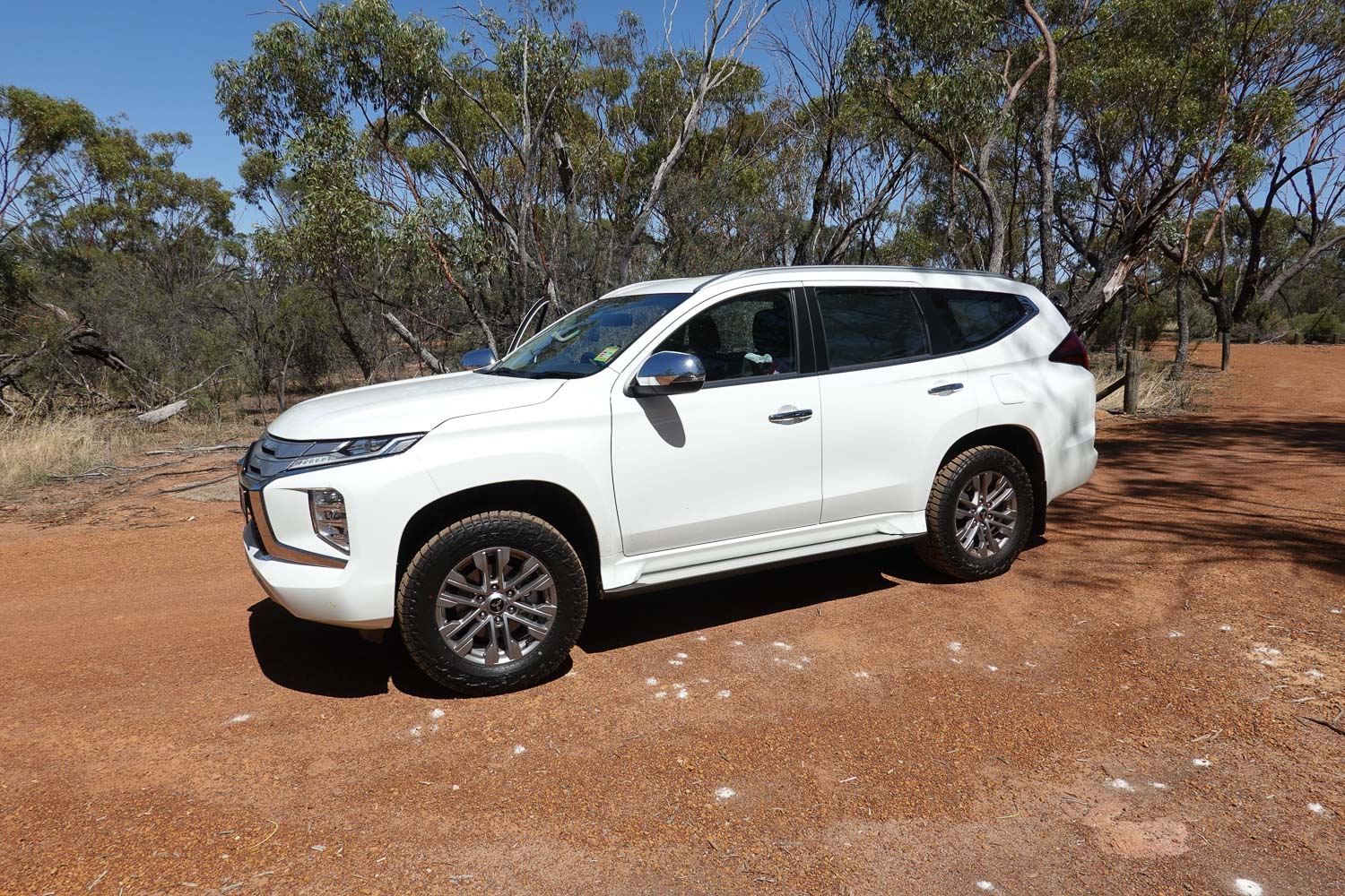
Before I got going I fitted Falken All Terrain tyres, the standard tyres get punctured very easily on gravel roads, everything else was standard.
Total trip distance 1,641 km and 4 days.
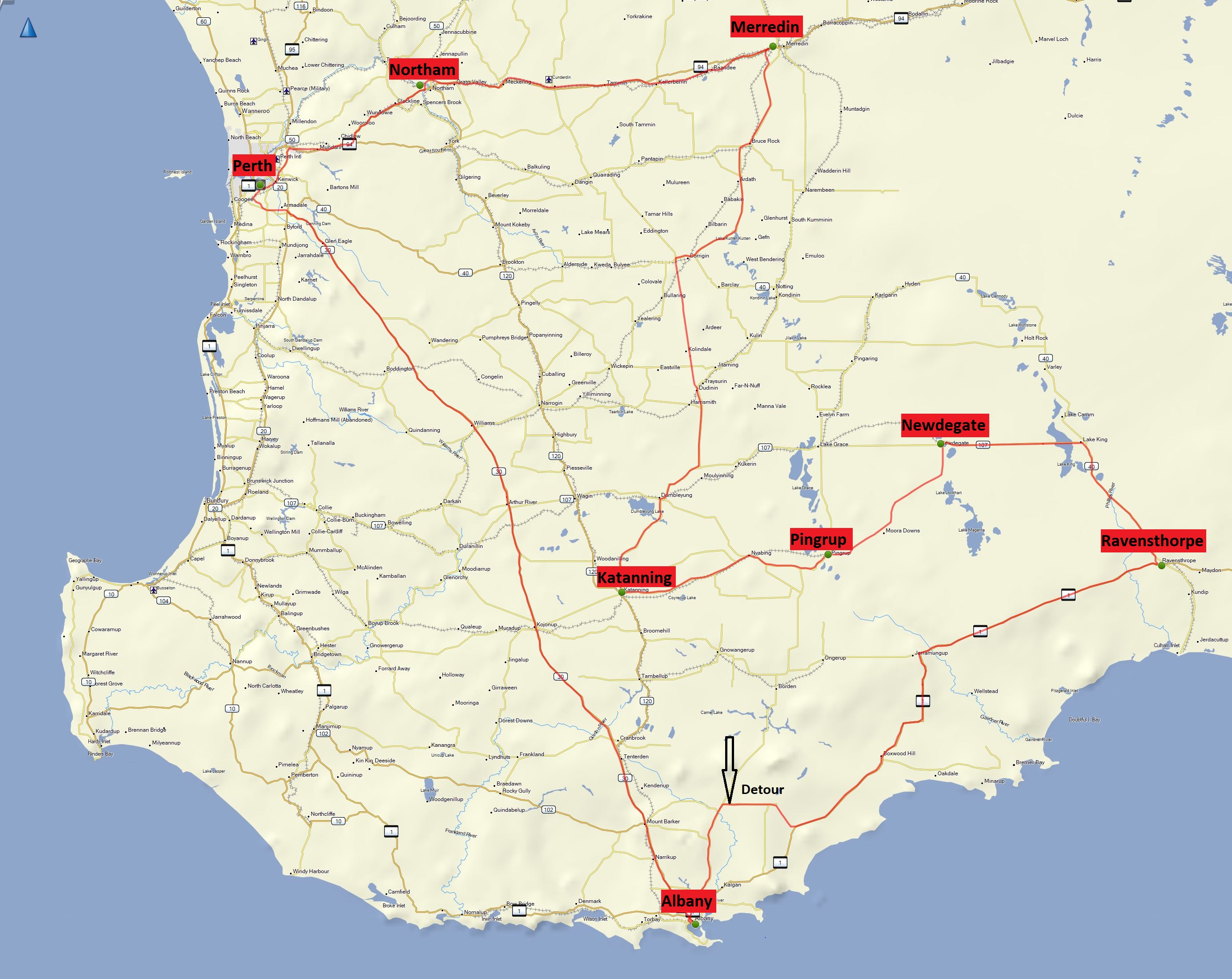
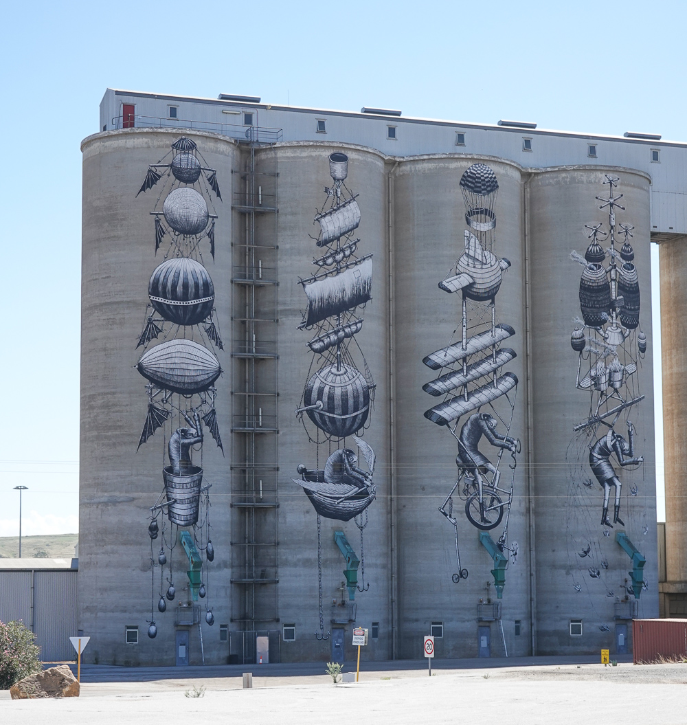
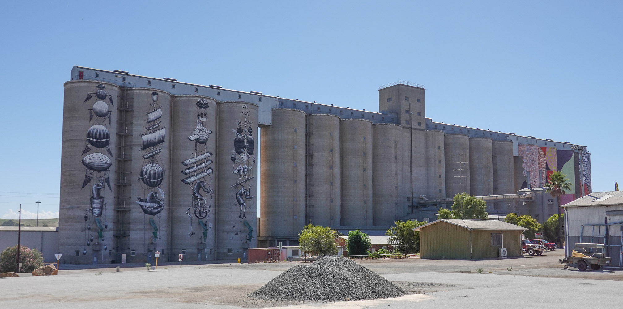
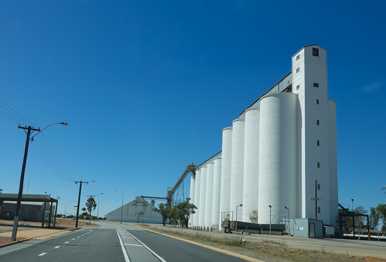
First stop was Northam, it has the biggest Silos. I thought I could drive down a gravel road I saw on the map to the top of a hill for photos but it turned out to be the road to the tip. And I got told off on the way back out because I should have stopped and checked in hahaha.
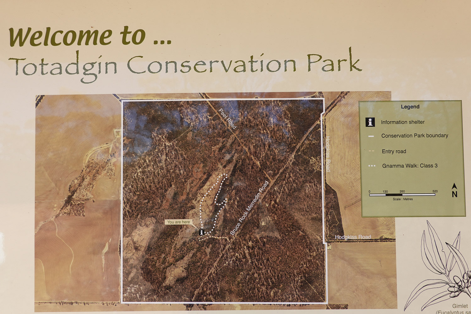
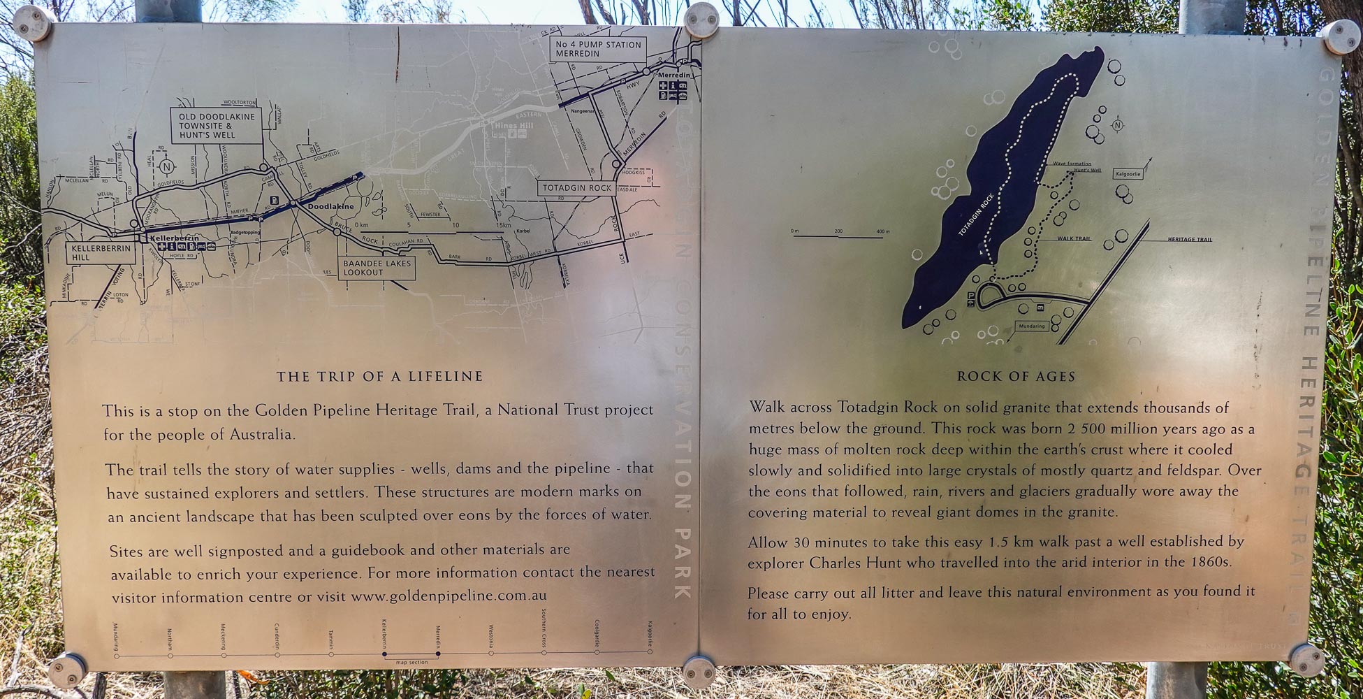
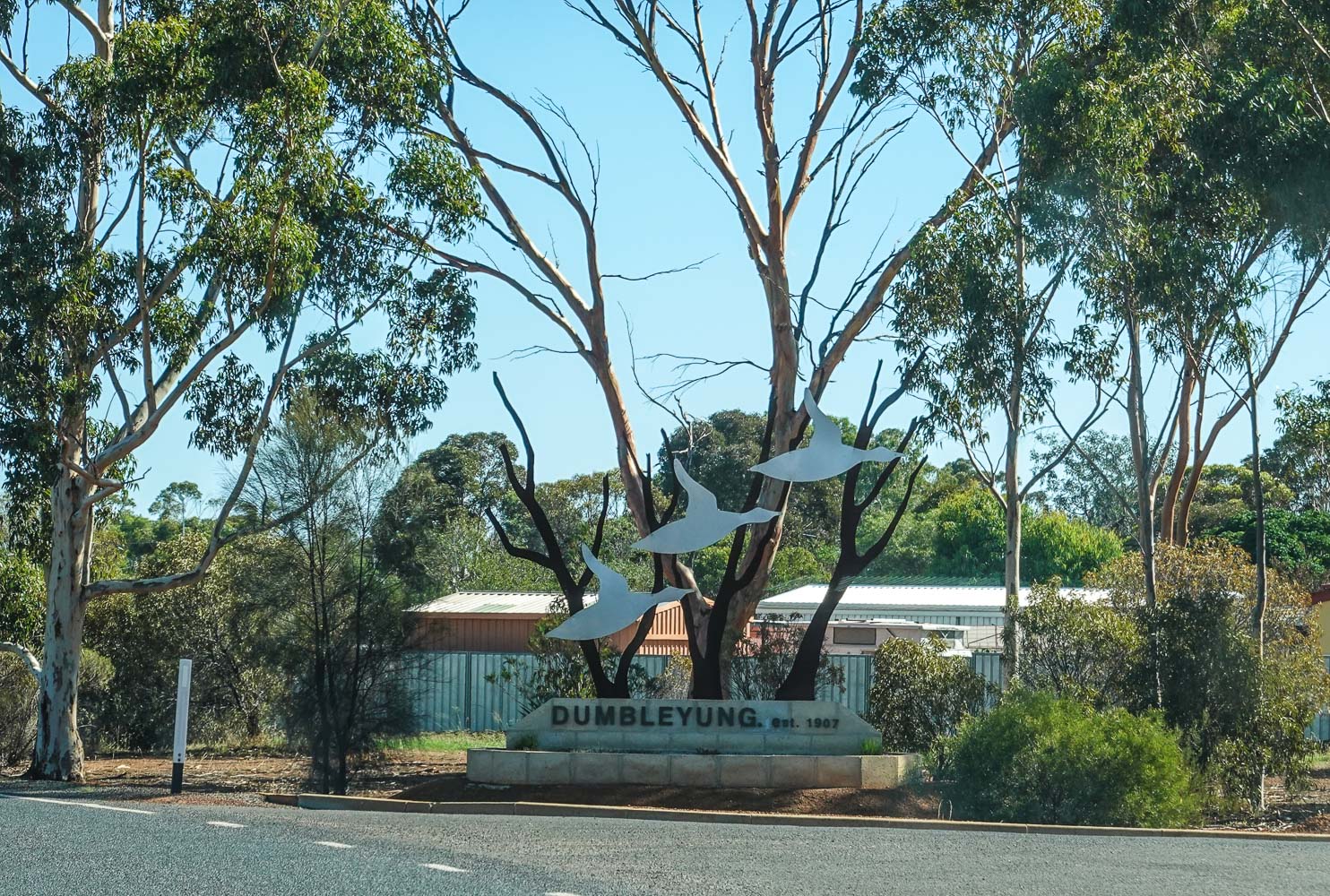
From Northam I drove to Merredin and then on to Katanning with a 15 minute stop at Totadgin Park.
Northam Silos
Northam Silos
Northam Silos
Northam Silos
Northam Silos
Unpainted Silos, on the road
Merredin Silos
Merredin Silos
Merredin Silos
Solar Panels
Totadgin Park
Totadgin Park
No, I did not go on the walk, too hot
Clean
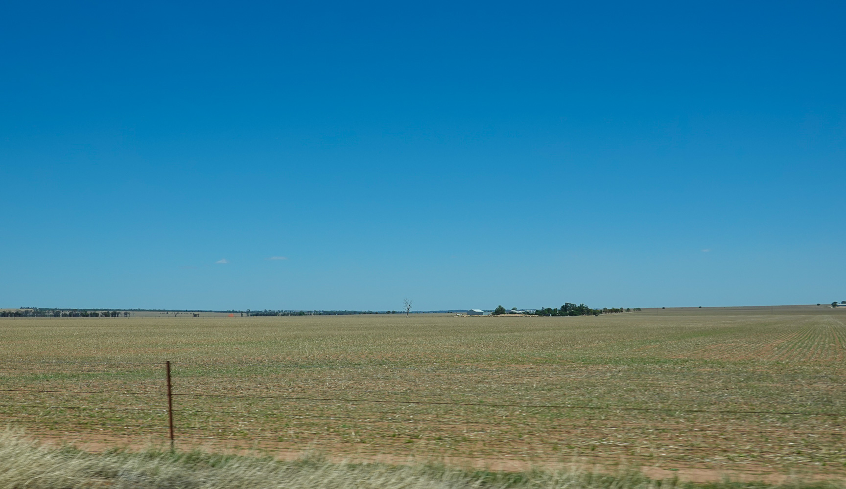
Wheat fields
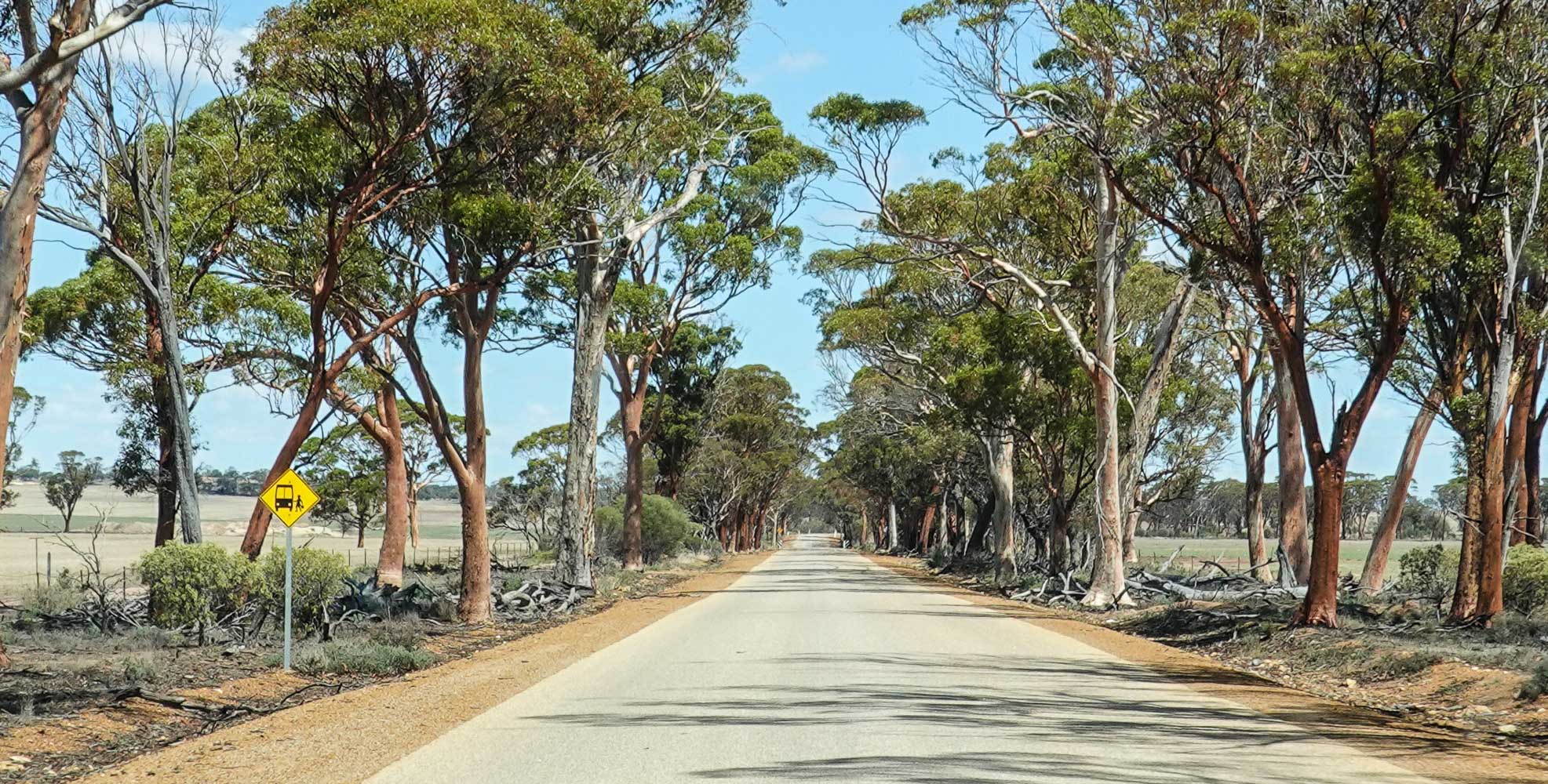
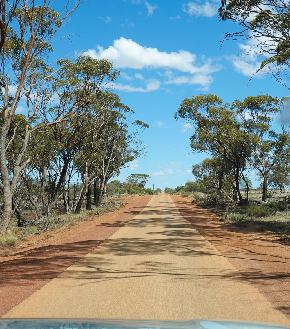
Long and Straight roads
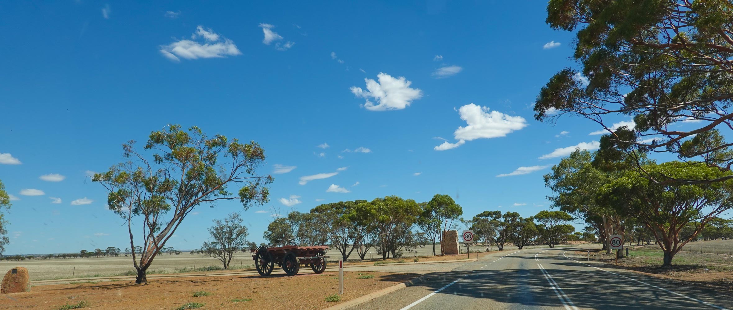
Bruce Rock
Old Wagon
School Bus Stop
Single Lane road
Wheat Silo
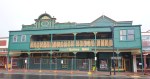
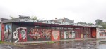
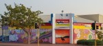
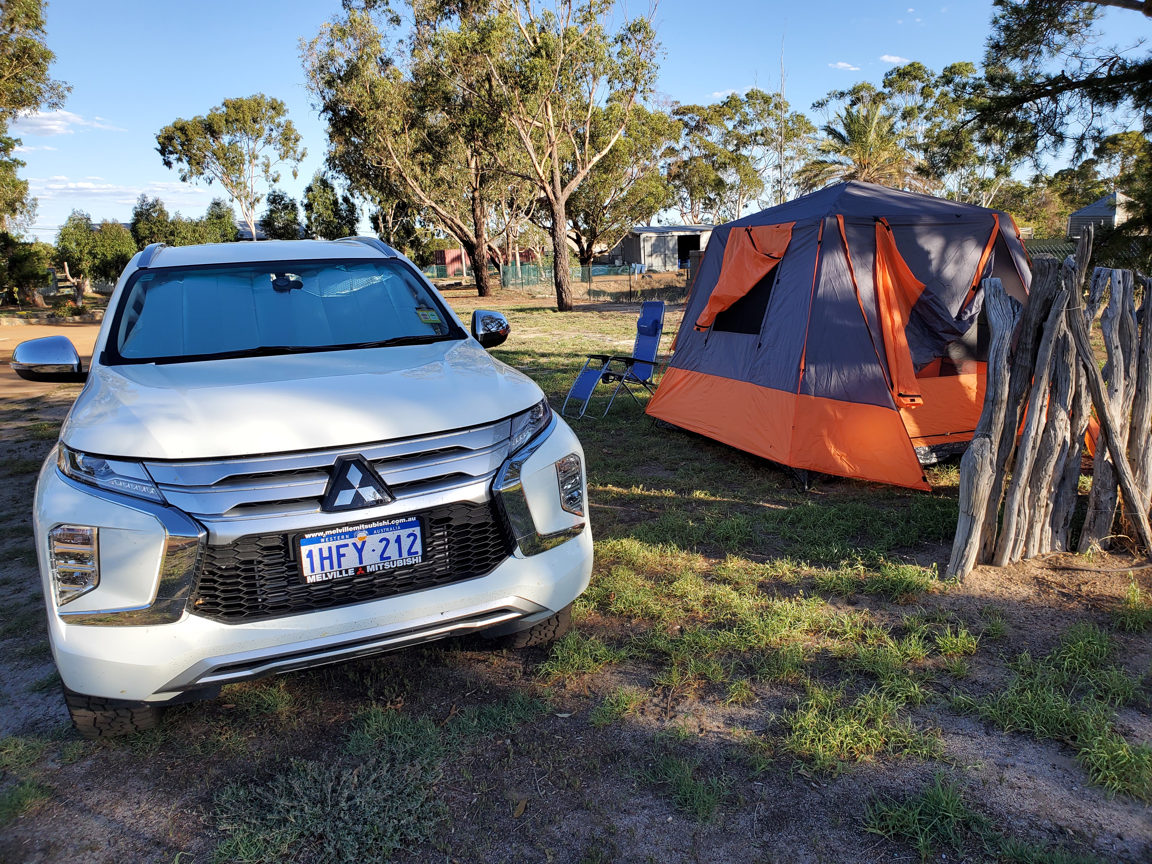
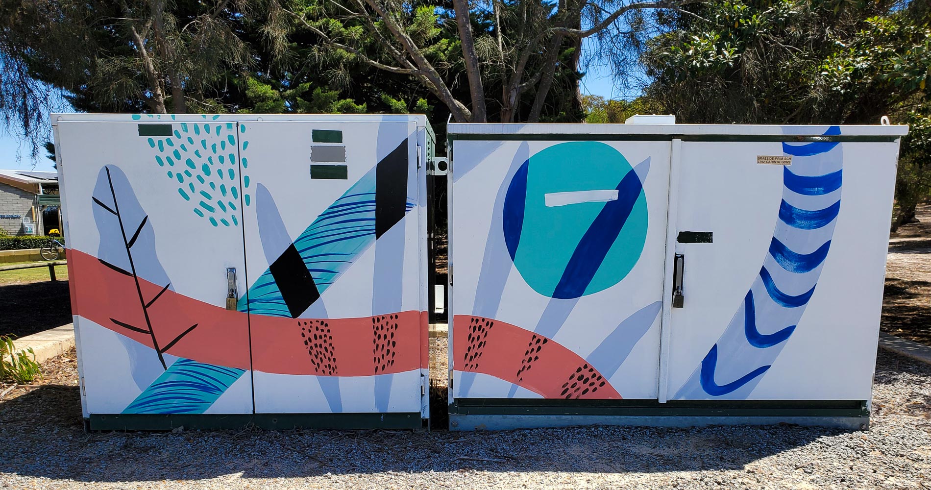
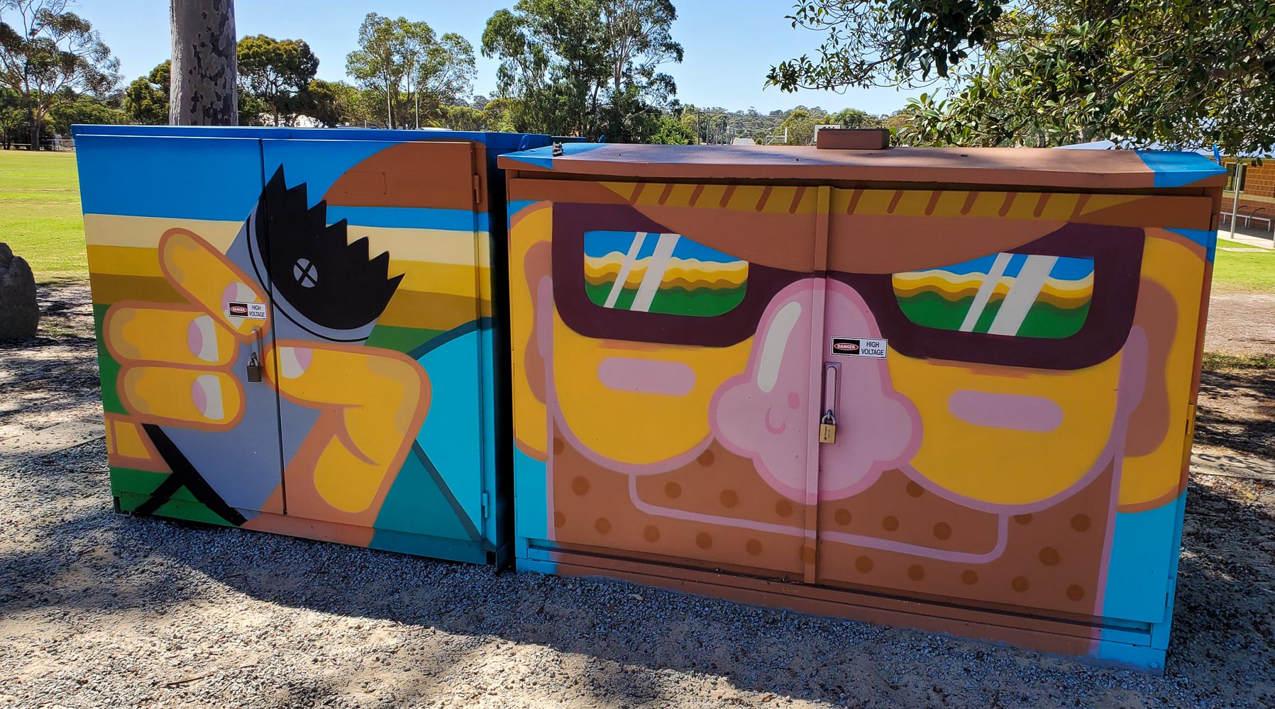
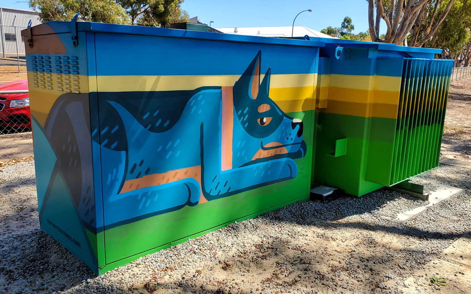
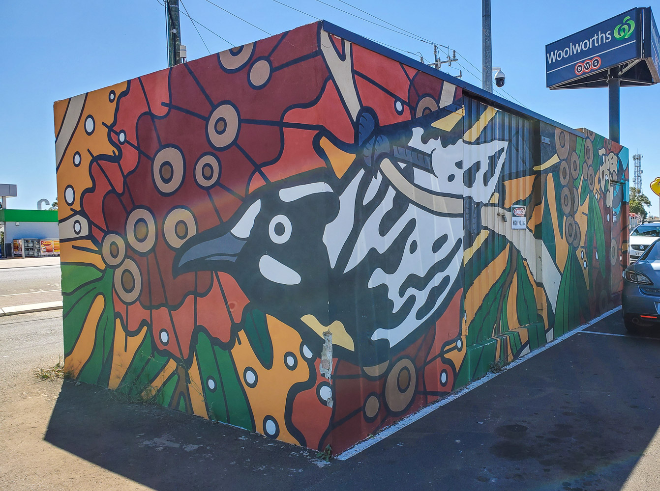
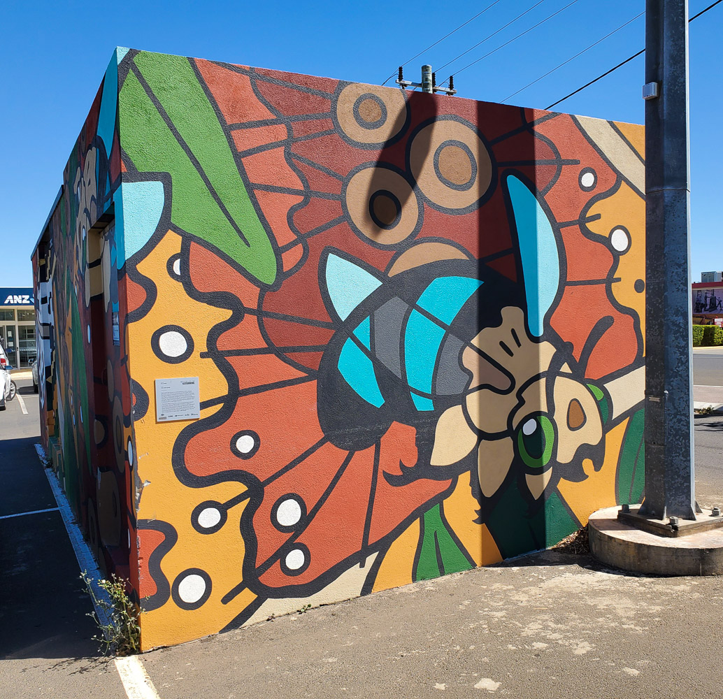
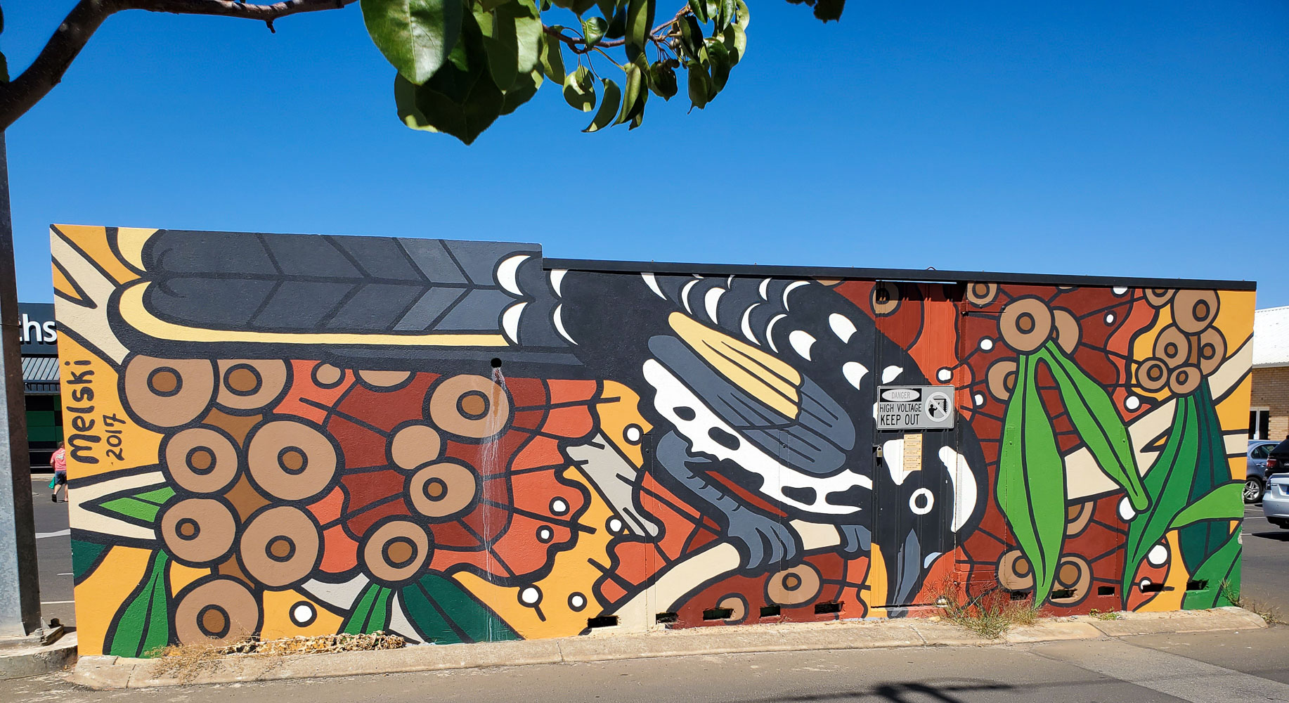
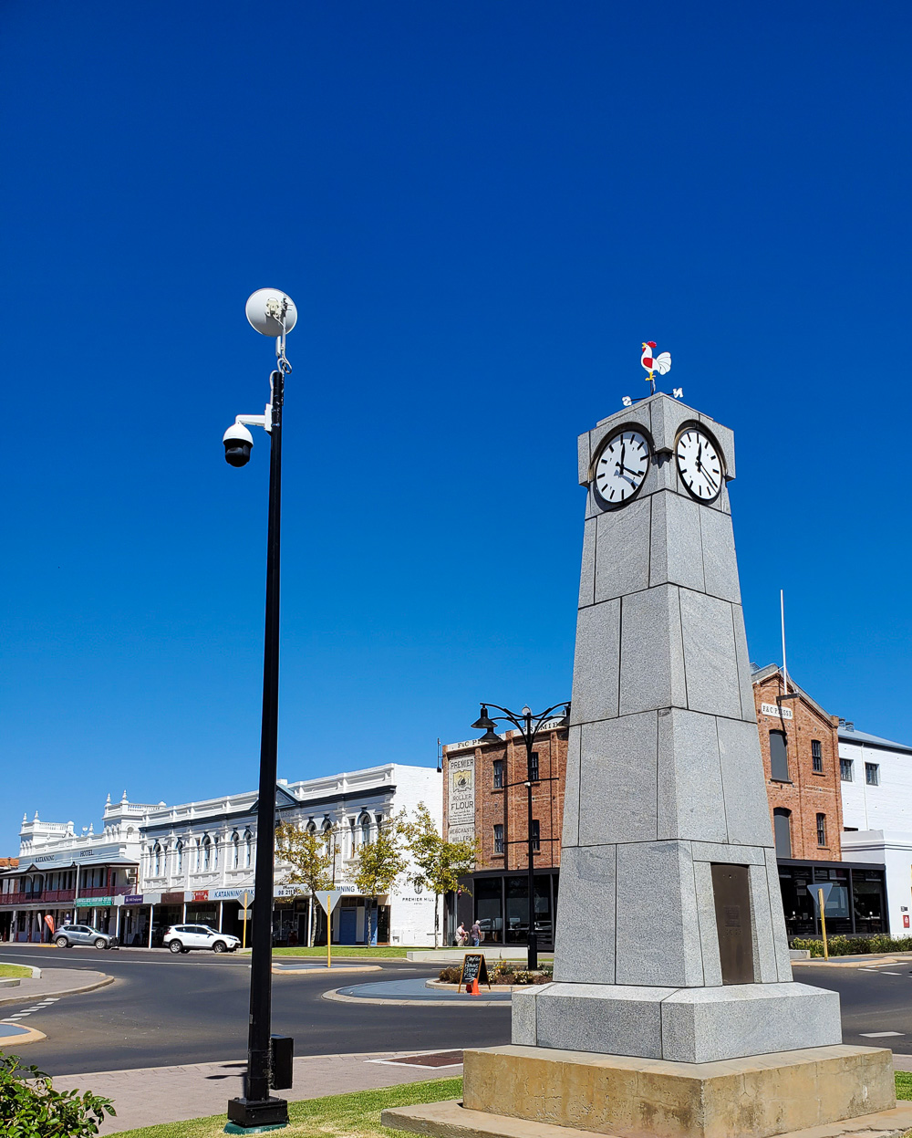
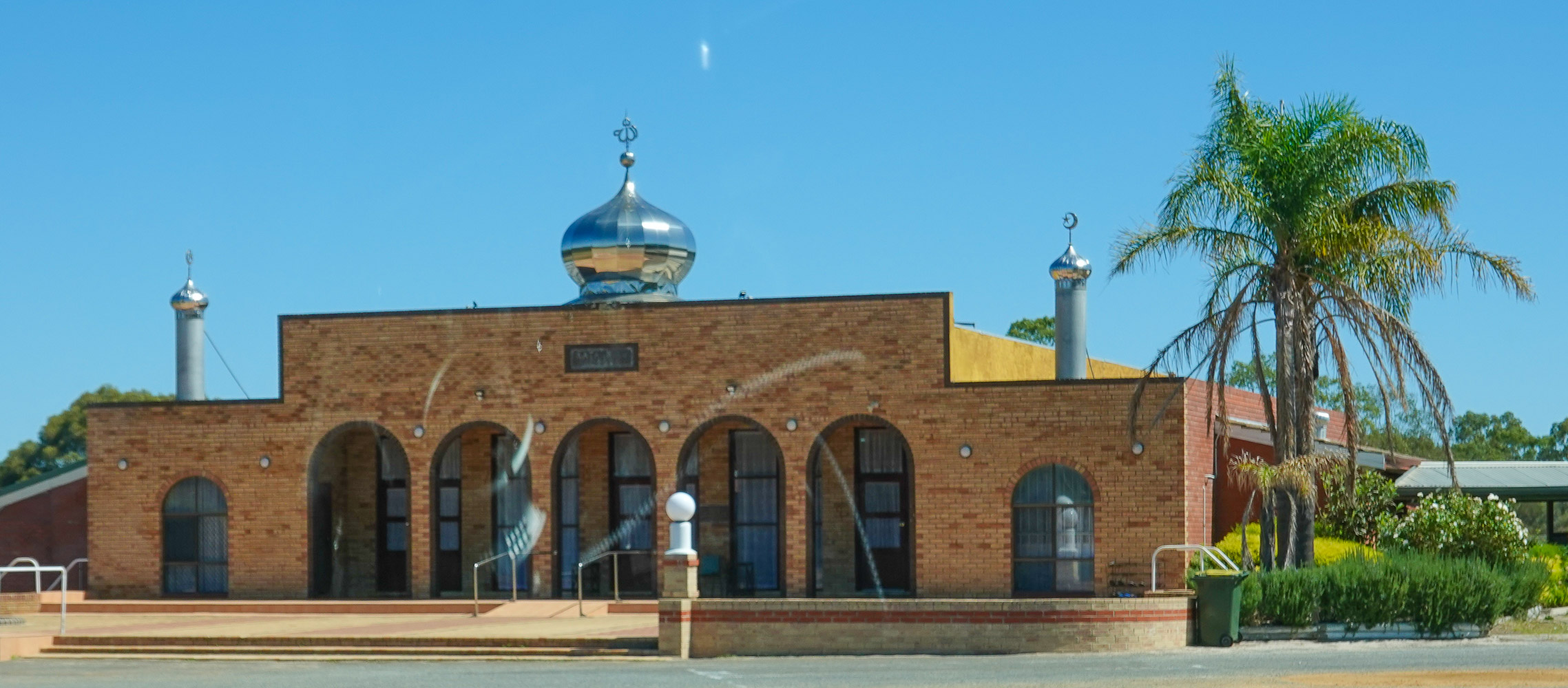
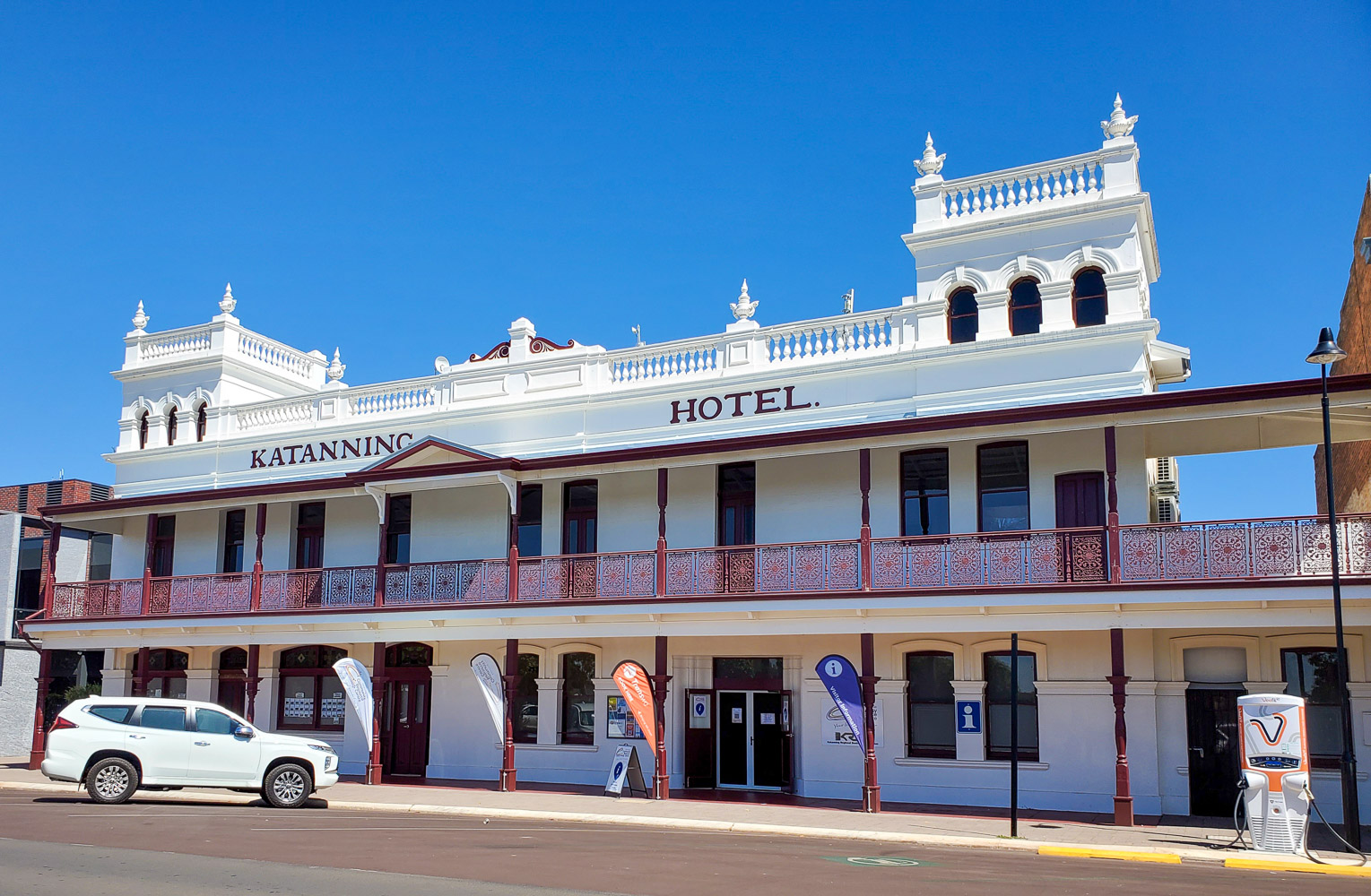
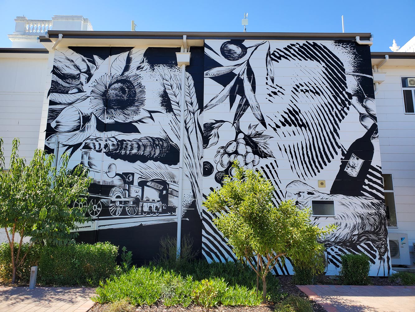
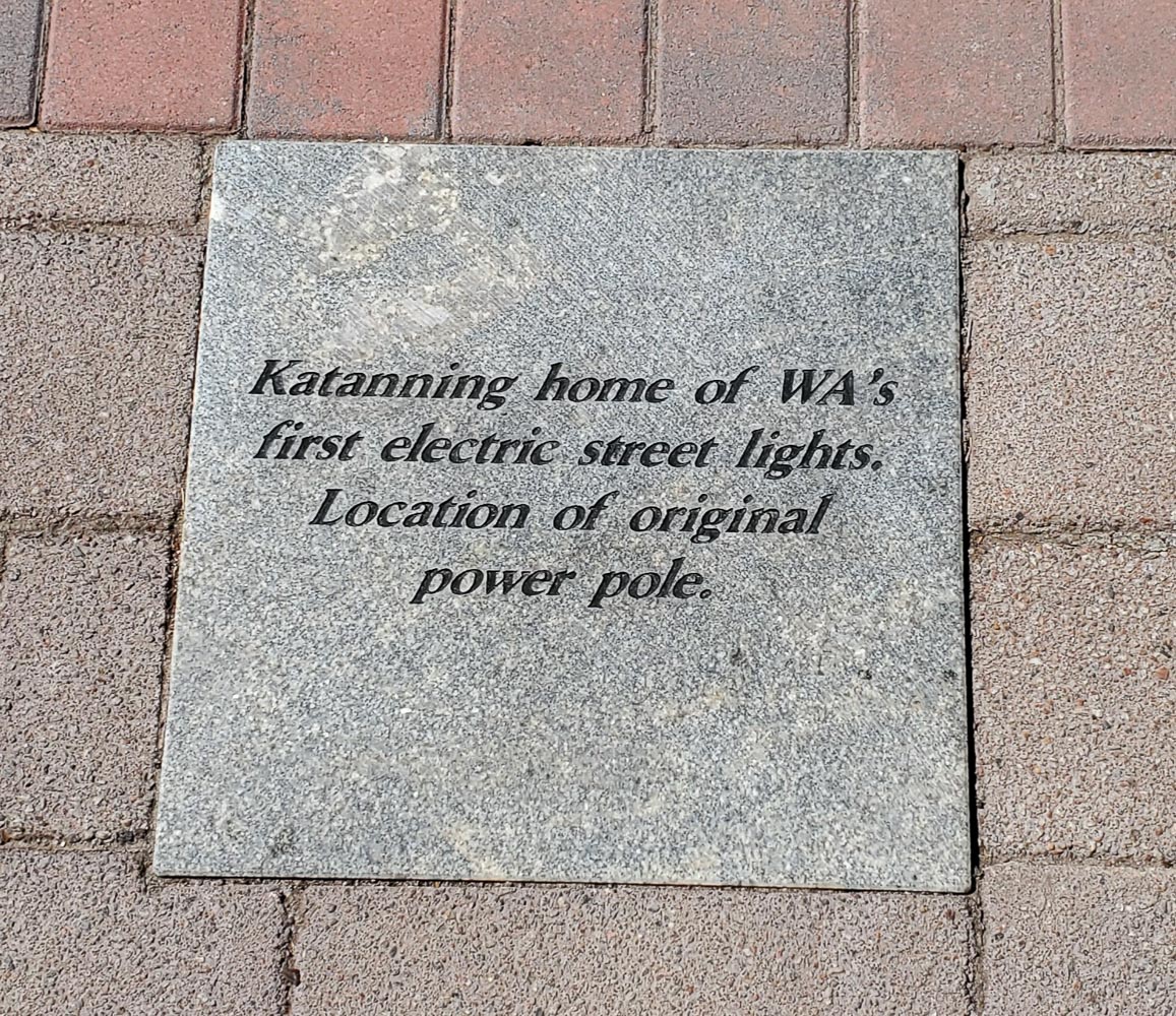
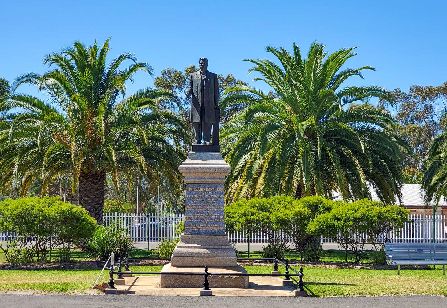
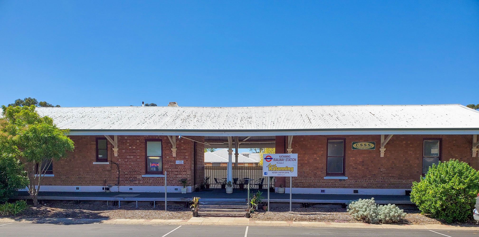
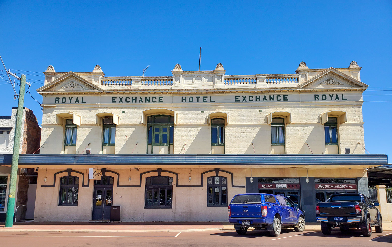
I checked into the Caravan Park in Katanning for 2 nights. This is a shakedown run to prove all my gear works and make a list of things to do. Katanning does not have any Silos but it does have Street Art.
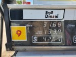
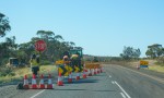
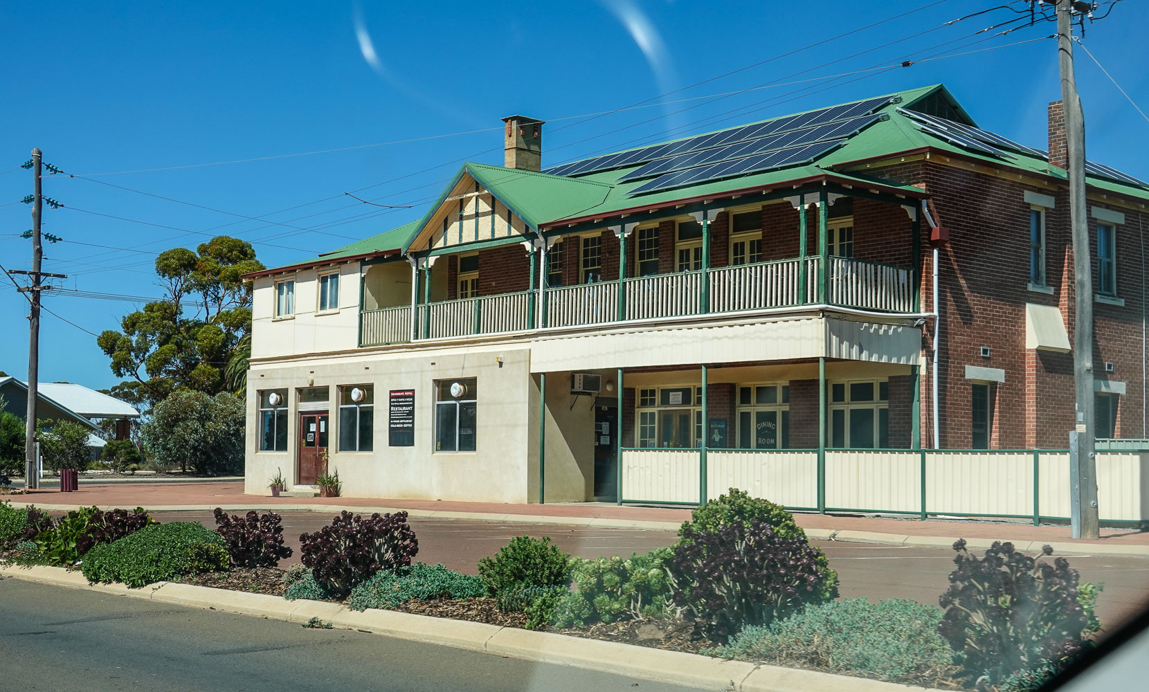
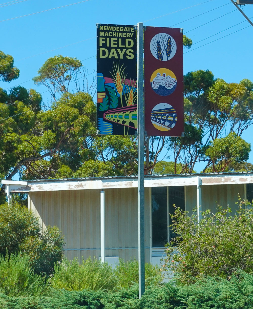
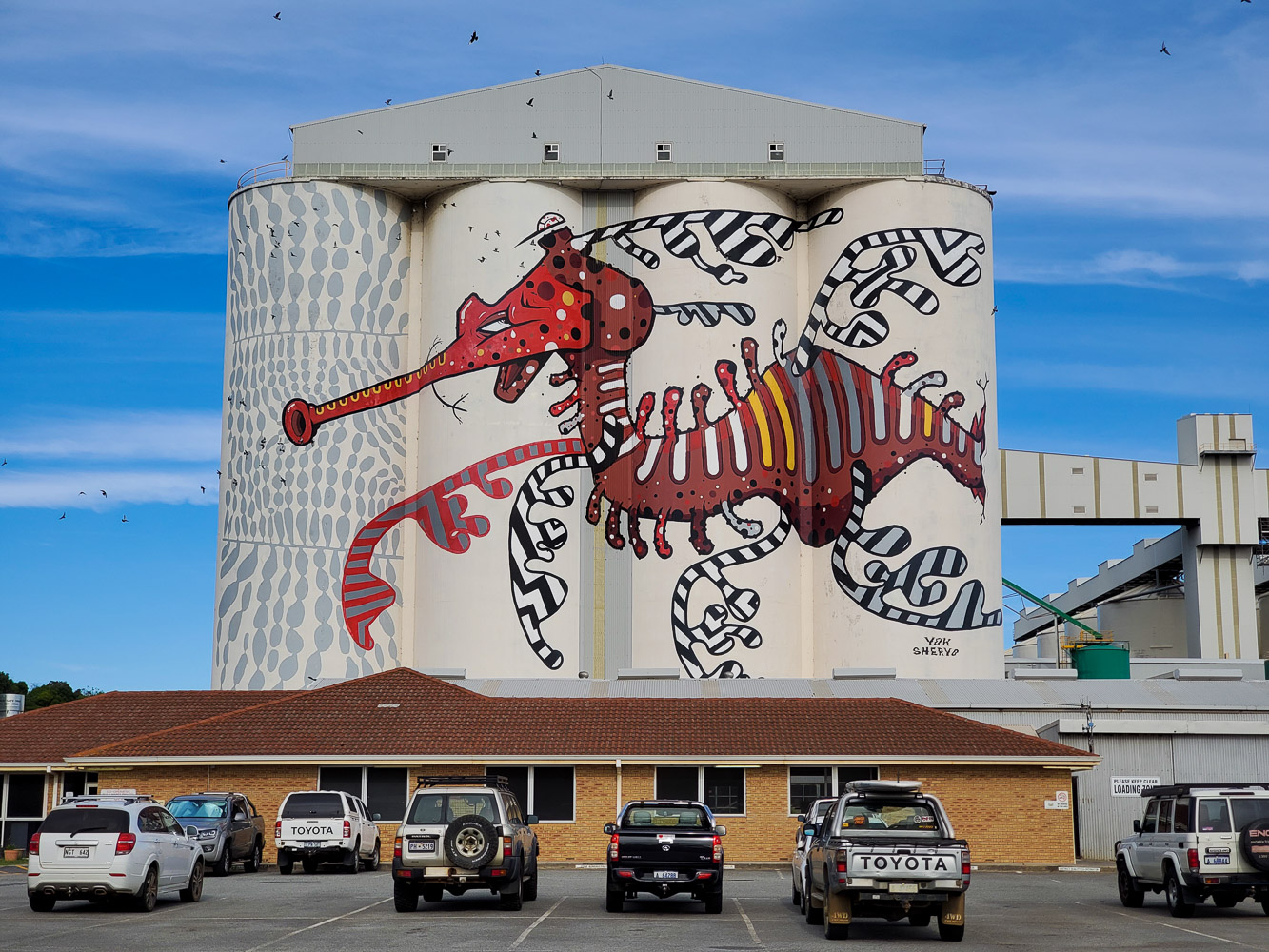
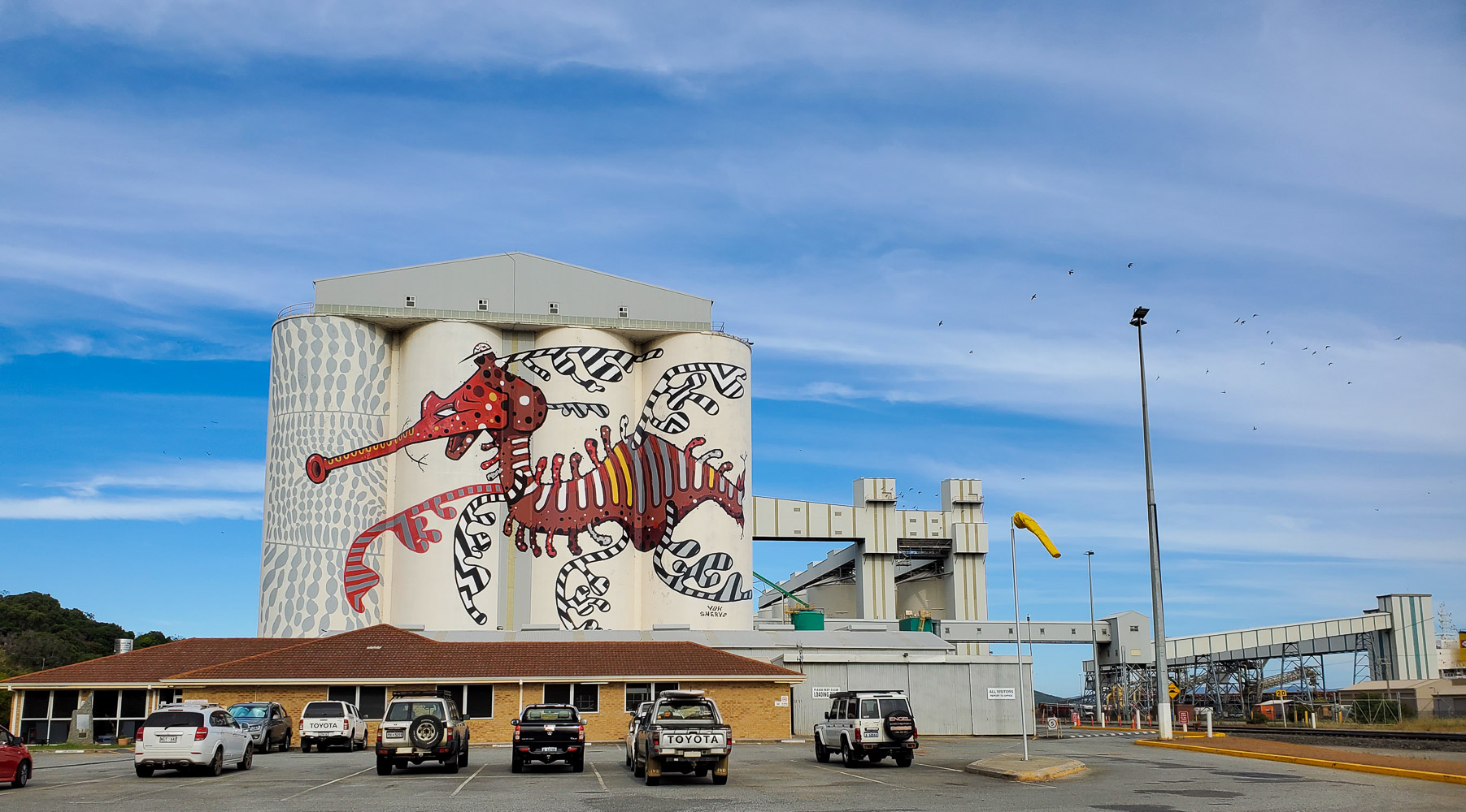
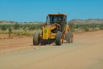
From Katanning I drove to Pingrup, a very small town with small silos. Next stop was Newdegate where there was a train unloading grain, next Ravensthorpe where both sides of the silos were painted. After that a long drive to Albany along Highway 1 that became a little exciting towards the end. I knew I could make the distance from Katanning to Albany on a tankful of fuel but 80km out of Albany the road was closed and there was a long detour. Luckily I found a General Store/Cafe that also served Diesel and filled up with 3.64 litres left in the tank hahaha, lesson learned, fill up when you can in the bush.
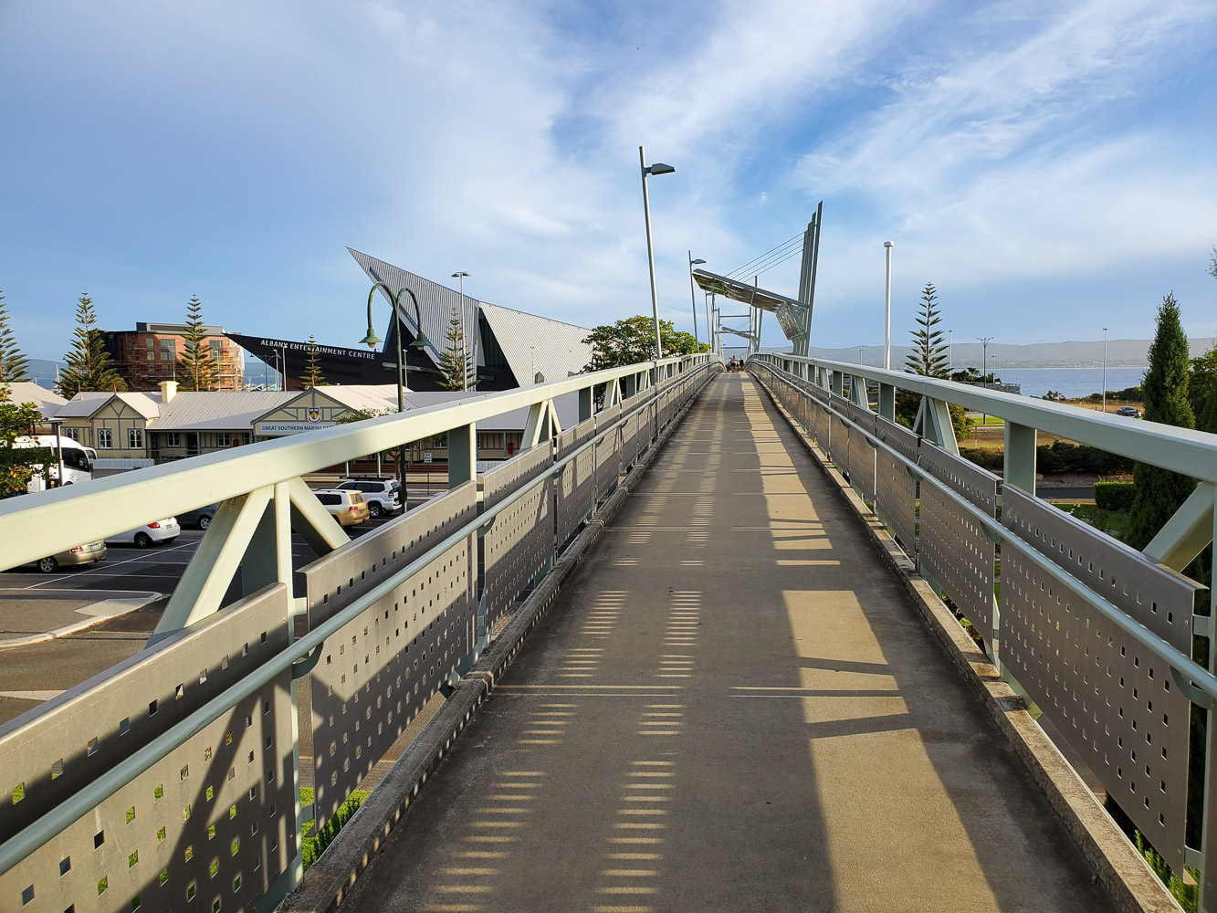
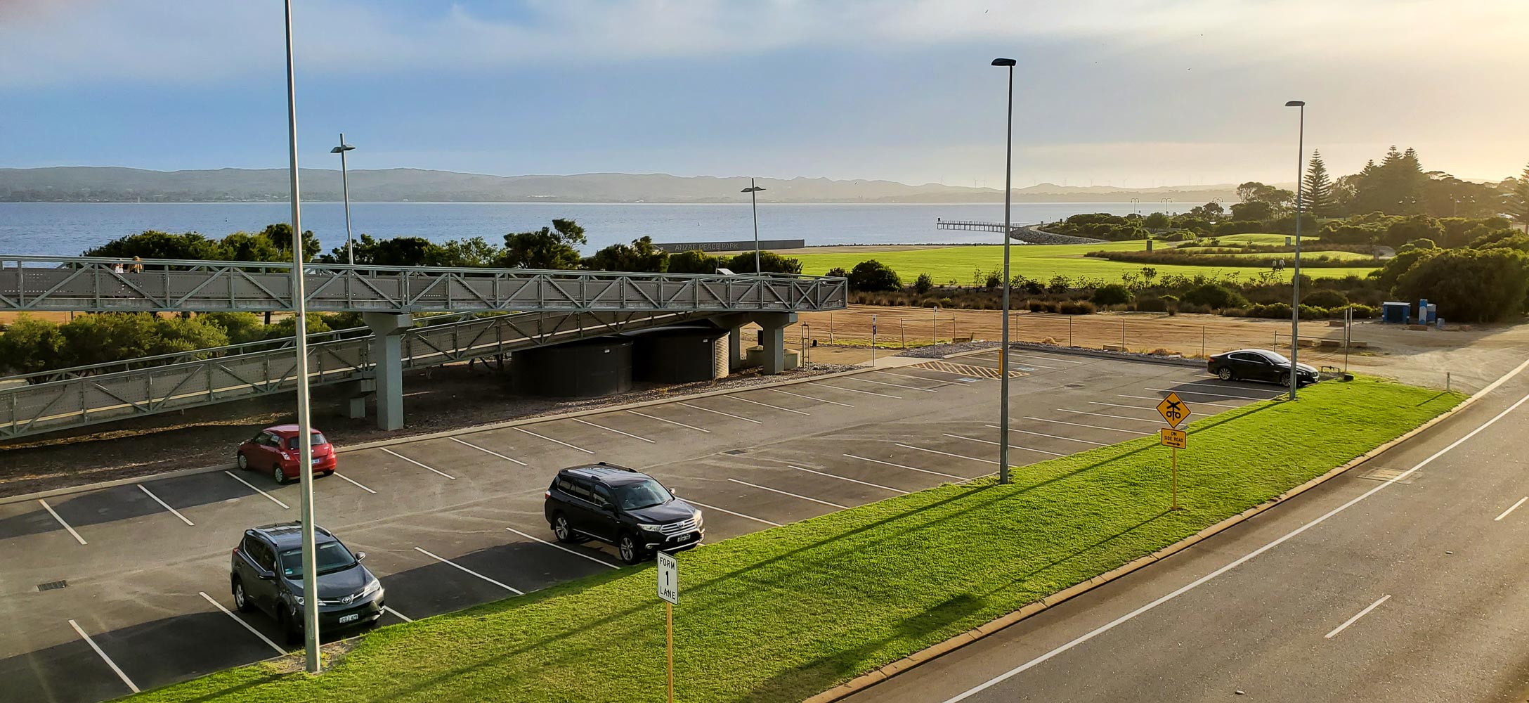
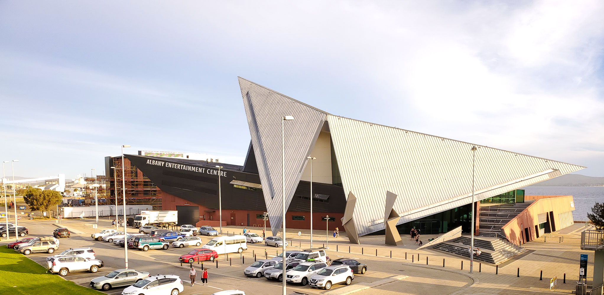
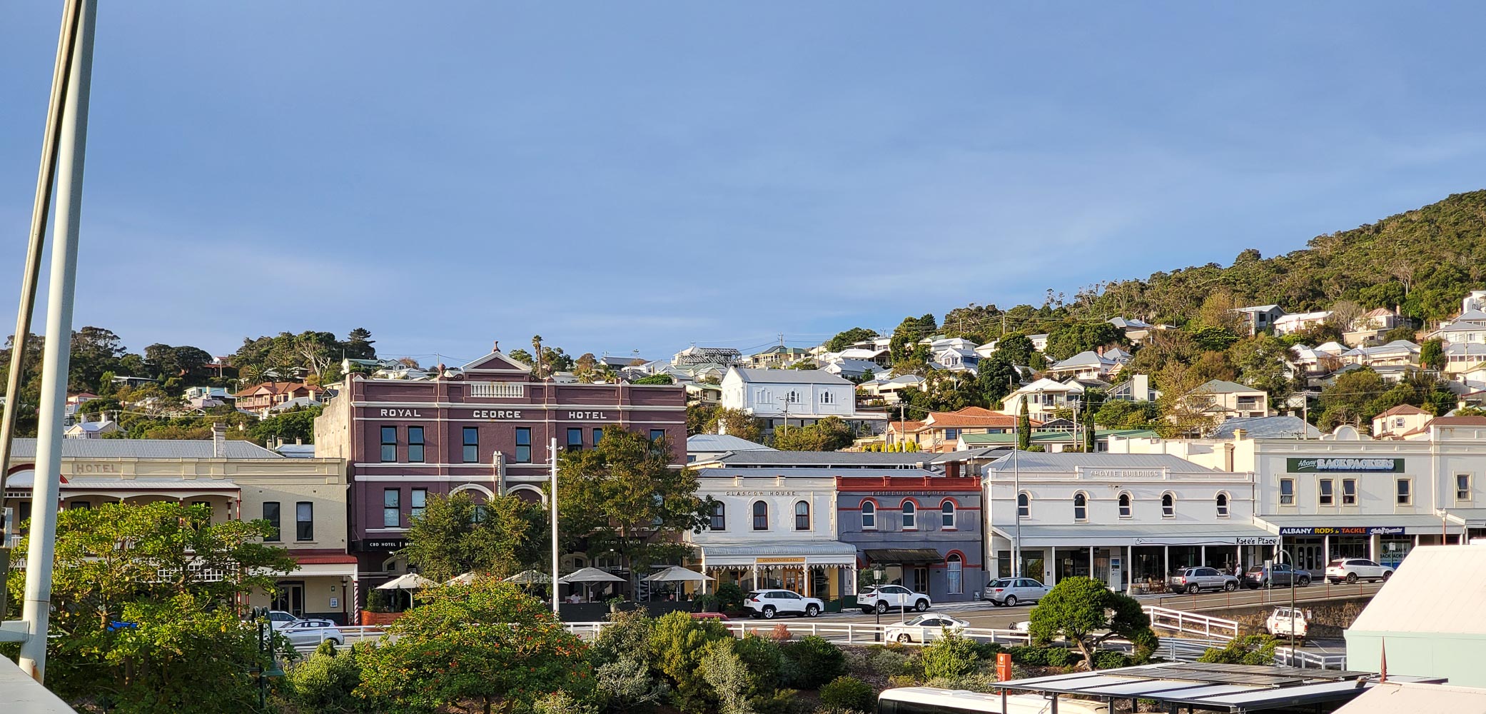
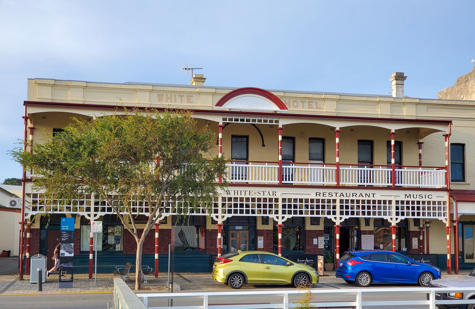
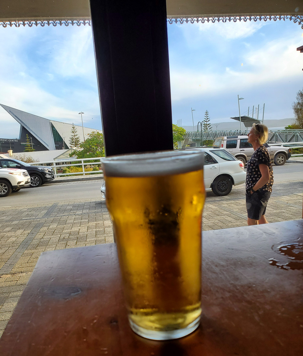
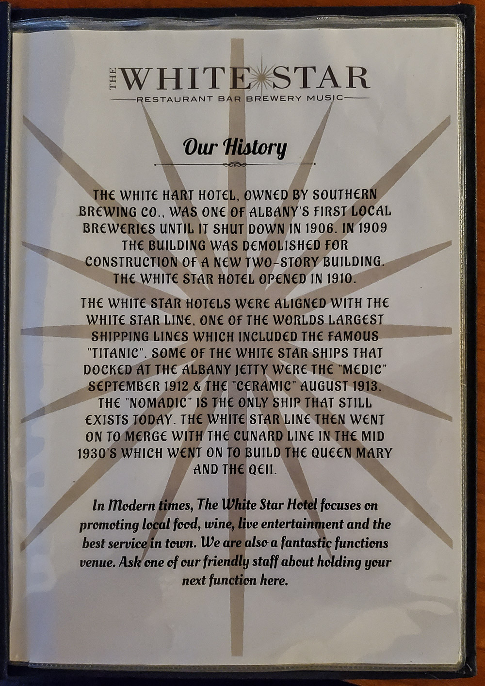
Albany is a port and quite a big town with a population of 34,000. I spent the night there and drove back to Perth the following day.
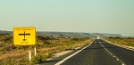
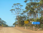
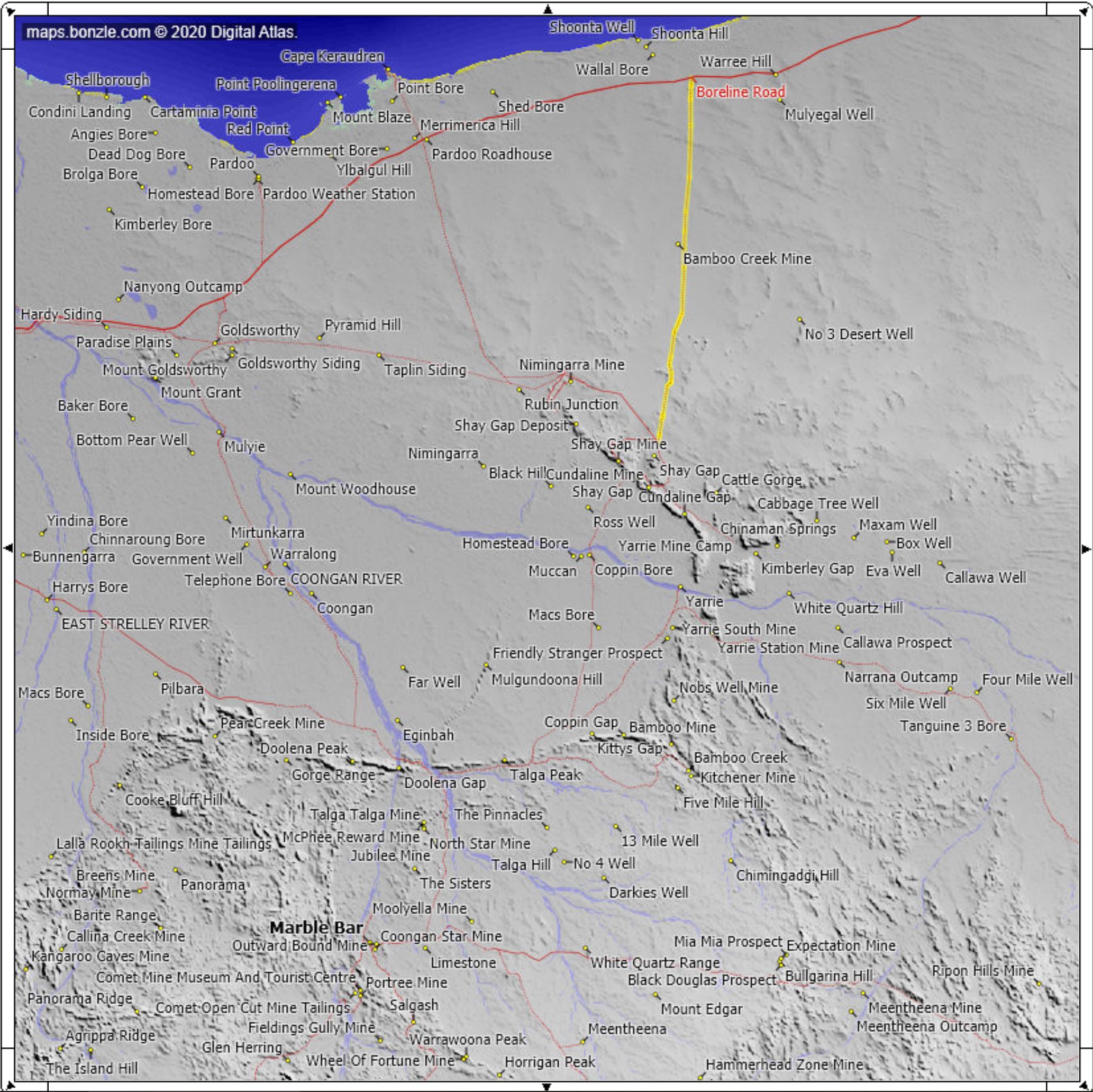
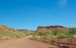
I left the Roebuck Plains Roadhouse at 0700 hrs and drove almost immediately into heavy fog which persisted for about 30 min. I travelled South back towards Port Hedland until I reached the Boreline Road. This is a gravel road short cut to Marble Bar, with great views, no traffic and in good condition due to the mines in the area. The road is shown on Google Maps but there are no signs for the turnoff, just turn left and keep going until you reach Marble Bar hahaha.
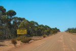
Always remember to carry your EPIRB plus food and water for a week just in case you get lost, breakdown, bogged, break a leg, run out of fuel, etc.
This is a useful website for maps of Australia Bonzle.com
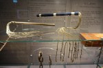
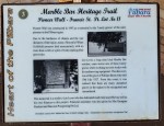
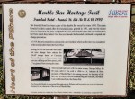
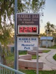
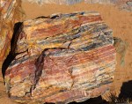
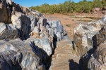
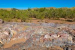
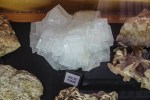
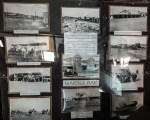
Marble Bar is famous for being the hottest town in Australia. It was not very hot this time around, the last time I was here in 2007 when I came through with the Australian Safari Rally it was 40c. It was named after a type of colourful quartz called Jasper across the Coongan River which was initially thought to be marble. They also found some big Gold nuggets in this area.