
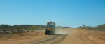
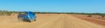
The drive from Gascoyne Junction to Mt.Augustus was the most interesting so far, winding dirt roads, a few corrugations, many Dips, Floodways and a few dry river crossings added to the fun. Mainly a good graded surface sometimes not so good, easy to maintain 100 kph. It took 3 hours to cover the 288 km. I met another couple who took 6 hours and were doing 50 kph, at that speed you feel every bump and corrugation, at 100 kph you skim over the top of the corrugations, a much smoother ride.
-

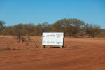
- Mount Augustus 315 km
-
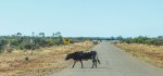
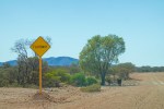
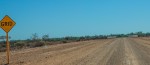
- Unfenced roads
-
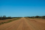
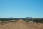
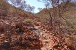
- Red dirt
-
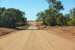
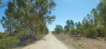
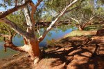
- Small river
-
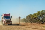
- Truck
-
- Maintenance
-

- Big River
-

- Cobra Dairy Creek Road
-
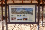
- Lookout
-
- Stony
-
- Another Big River
-
- Missing Rear Window
-

- Oval rock
-
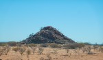
- Pyramid rock
-
- Lookout
-

- Big River
-
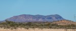
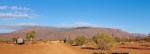
- Not Mount Augustus
-

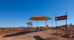
- Windmill and a Phone
-

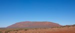
- Mount Augustus first glimpse
-
- Caravan Park
-

- Very nice
-

- Fine Red dust
-

- Sticks to everything
-

- Scorpio
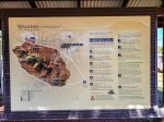
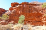
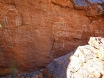
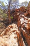
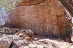
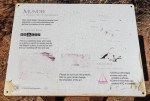
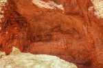
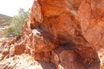
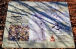
Mount Augustus – A very large rock. I followed some of the trails and saw some Aboriginal scribbles, not one of the talented.
-
- The Rock
-

- Ooramboo
-
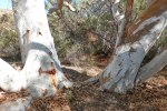
- Trees
-
- Pink
-

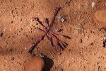
- Art
-
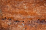
- Art
-
- The Canvas
-
- Waterfall
-
- Art
-
- Path
-
- Art
-
- Mundee
-
- Art
-
- Rock
-
- Walks
-

- Flintstone Rock
-

- Flintstone Rock
-

- Flintstone Rock
-
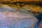
- Art underneath
-
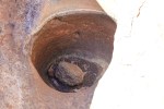
- A round hole
-
- The Pound, Saddle Walk
-
- The Path
-
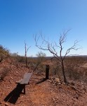
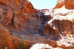
- The Lookout
-
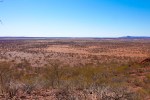
- The View
-

- Goolinee, Cattle Pool
-

- Spot the Drone
-
- The Pool
-
- Emu Hill Lookout
-
- The View
-
- 8 AM
I flew my drone at the Cattle Pool, it was deserted, click on the link below.
Goolinee Cattle Pool Views from a Drone
.
