
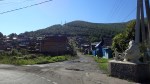
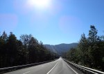
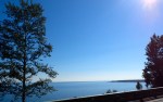
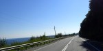
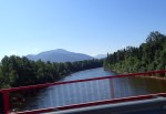
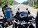
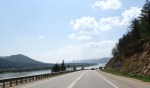
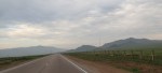
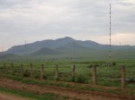
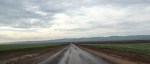
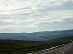
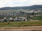
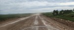
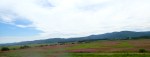
Irkutsk to Ulan-ude – Left the hotel at 0740, no traffic being Saturday easy ride out of the city, then straight into the mountains, altitude up to 1000 m, fun ride, cool, roads good most of the time, saw a few cops first in a while, filled up after 230 km. My new fuel strategy is to fill up at the first place I see after I pass 200 km from the last fill up, it used to be 300 km but with some of these places not having any fuel I nearly ran out twice, this will mean an extra fuel stop every day. On average I can get 400 km out of a 20 litre tank of fuel. The road then goes around Lake Baikal many small villages, then followed the Selenge river valley all the way to Ulan-ude, flat in the valley more built up and more traffic and more road works, quite warm now 28c, arrived at 1340, 459 kms, 5:50 hrs good ride. The place I am staying at is 100 m from the highway so I avoided the city altogether. The people look to be of Mongolian origin, not surprising considering the Mongolian border is only 235 km from here.
-
- Heading out
-
- City streets
-
- Soviet Era
-
- Through the mountains
-
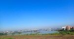
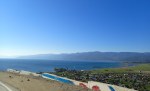
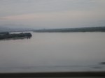
- Lake Baikal
-
- Lake Baikal
-
- Lake Baikal
-
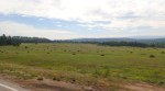
- Flats
-
- The Bear and the Monkey
-
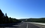
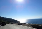
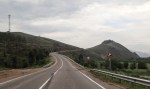
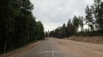
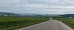
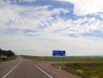
- Good road
-
- Lake Baikal
-
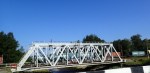
- Railway bridge
-
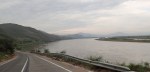
- Follow the lake
-
- River
-
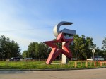
- Blue, white and yellow
-
- The route
-
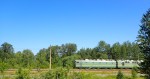
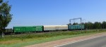
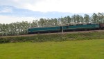
- The train
-
- Wagons
-
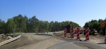
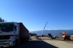
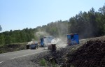
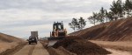
- Roadworks
-
- Stream
-
- Cooking
-
- Something
-
- Road and Rail
-
- Wildflowers
-
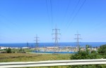
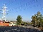
- Power
-
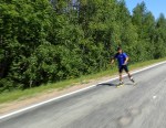
- Serious Rollerblader
-
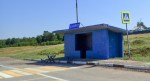
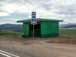
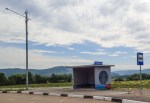
- Bus Stop
-
- The last wagon
-
- Horses Tail
-
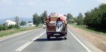
- Moving House
-
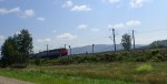
- Trans Siberian Express
-
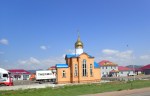
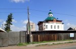
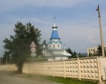
- Church
-
- Church
-
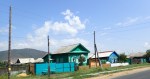
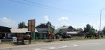
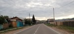
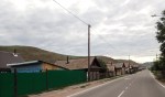
- Village
-
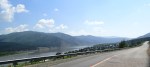
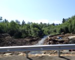
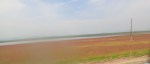
- River Selenge
-
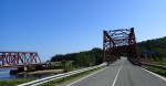
- Railway Bridge
-
- River Selenge
-
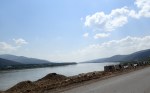
- River Selenge
-
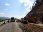
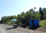
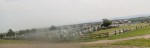
- Roadworks
-
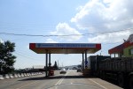
- Police checkpoint
-
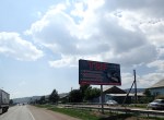
- Advertisement
-
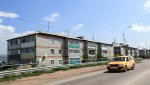
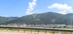
- Flats
-
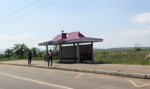
- Bus Stop
-
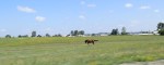
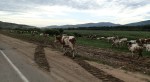
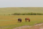
- Horses
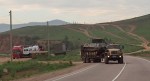
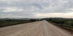
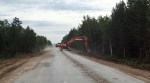
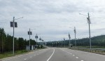
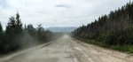
Ulan-ude to Chita – Left at 0715, cool and mountains again, then following a river, countryside constantly changing. First half was rough mixed with smooth with some very long sections of unmanaged road works, which means men and machines working and traffic threading their way through in both directions, though only 3 or 4 cars/trucks otherwise it would have been chaos, still dust made it difficult to see the road, some pretty gnarly bits of loose blue metal. Filled up 3 times sticking to my 200 km rule, got warmer and good road as I got closer to Chita then a long stretch of roadwork, Garmin took me down a farm track thinking it was a road, kept going for a couple of k’s before I got back onto the pavement hahaha a bit like Eastern Europe. Overall probably the roughest roads of the trip so far but the most fun, sunshine and no rain makes a big difference, most of the ride was above 800m altitude, arrived at 1515, 655 km, 8:00 hrs, 1615 local time lost another hour.
-
- Heading out
-
- Antenna
-
- Military
-
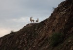
- Deer
-
- River
-
- River
-
- The road
-
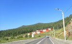
- Village
-
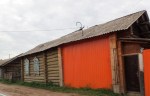
- Village Architecture
-
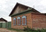
- Village Architecture
-
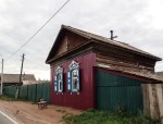
- Village Architecture
-
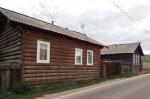
- Village Architecture
-
- Village Architecture
-
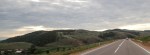
- The view
-
- Trees
-
- The road
-
- New road
-
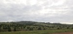
- Mountains
-
- Towns
-
- The road
-
- Traffic
-
- Bus stop
-
- The road
-
- Roadworks
-
- Dust
-
- Find your way around
-
- Solar power
-
- In the woods
-
- Bus atop
-
- Farm
-
- Train
-
- Chita
-
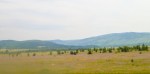
- Meadow
-
- Wildflowers
-
- Train
-
- Painting
-
- Roadworks
-
- Wildflowers
-
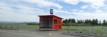
- Bus stop
-
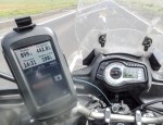
- 899 meters
-
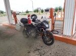
- Fuel
-
- Wildflowers
-
- Wildflowers
-
- Cemetery
-
- Horses
-
- Church
-
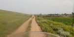
- Shortcut
-
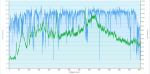
- Speed and Elevation
-
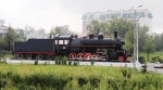
- Chita Locomotive
-
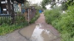
- Footpath
-
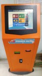
- Banking, Phone topup, etc
-

- Polarbeer
